


0
Ascents

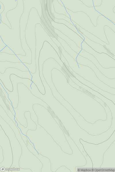
 Mull and Nearby Islands
 0
0 184.0
184.0User Activity
No recent Activity
0
Ascents
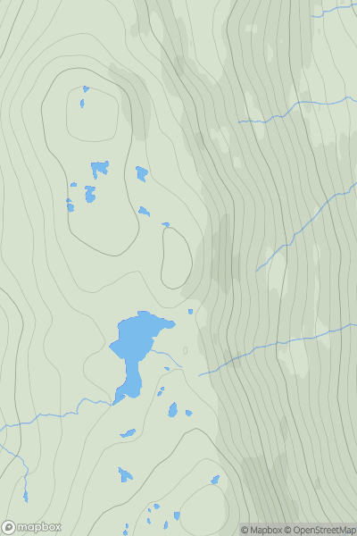
Morvern and Kingairloch
0
521.0User Activity
No recent Activity
0
Ascents
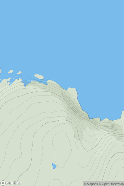
Loch Torridon to Loch Maree
0
32.0User Activity
No recent Activity
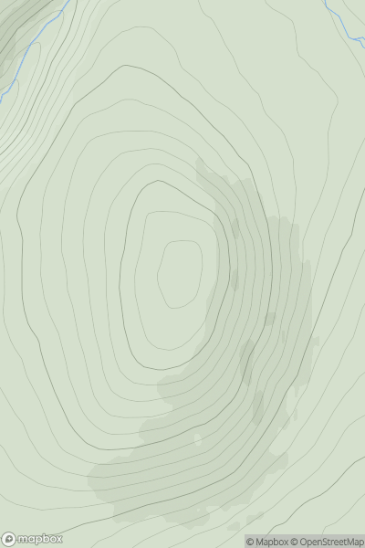
![Thumbnail image for Meall na Leitreach [Scourie to Lairg] showing contour plot for surrounding peak](/static/img/mountains_img_db/4761_Meall_na_Leitreach_[Scourie_to_Lairg].png)
0
Ascents
Scourie to Lairg
0
566.0User Activity
No recent Activity
0
Ascents
Loch Ericht to Glen Tromie & Glen Garry
0
827.0User Activity
No recent Activity
0
Ascents
Inverness to Strathspey
0
480.0User Activity
No recent Activity