

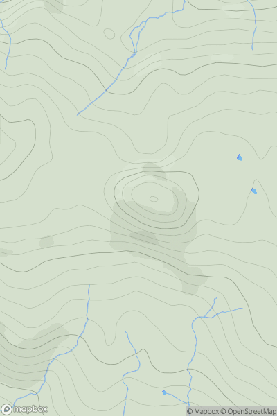
![Thumbnail image for An Diollaid [Mull and Nearby Islands] showing contour plot for surrounding peak](/static/img/mountains_img_db/10404_An_Diollaid_[Mull_and_Nearby_Islands].png)


0
Ascents

 Mull and Nearby Islands
 0
0 98.0
98.0User Activity
No recent Activity
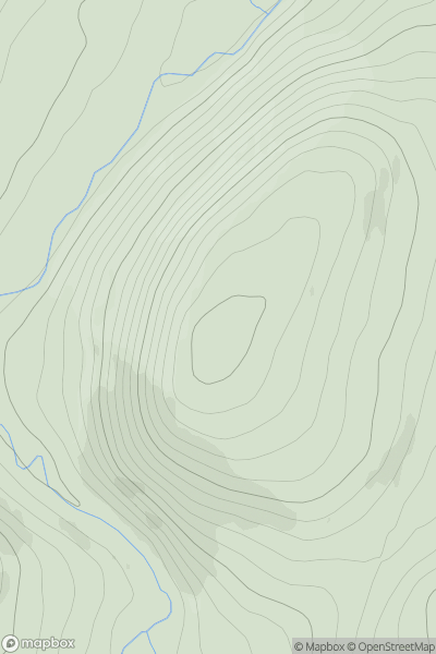
![Thumbnail image for Meall Garbh [Loch Rannoch to Glen Lyon] showing contour plot for surrounding peak](/static/img/mountains_img_db/118_Meall_Garbh_[Loch_Rannoch_to_Glen_Lyon].png)
0
Ascents
Loch Rannoch to Glen Lyon
0
968.0User Activity
No recent Activity
0
Ascents
Morvern and Kingairloch
0
439.0User Activity
No recent Activity
0
Ascents
Tomintoul to Banff
0
457.0User Activity
No recent Activity
![Thumbnail image for Whiteside Hill [The River Tweed to the English Border] [NS969277] showing contour plot for surrounding peak](/static/img/mountains_img_db/13853_Whiteside_Hill_[The_River_Tweed_to_the_English_Border]_[NS969277].png)
0
Ascents
The River Tweed to the English Border
0
440.0User Activity
No recent Activity
![Thumbnail image for Mochrum Fell [The Glenkens to Annandale] showing contour plot for surrounding peak](/static/img/mountains_img_db/1793_Mochrum_Fell_[The_Glenkens_to_Annandale].png)
0
Ascents
The Glenkens to Annandale
0
317.0User Activity
No recent Activity