


0
Ascents

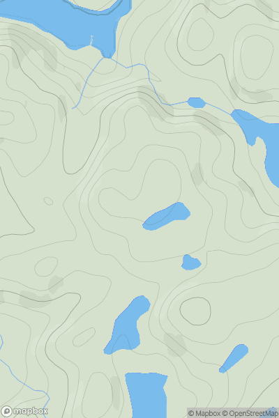
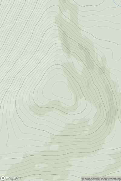
 Cape Wrath Peninsula
 0
0 107.0
107.0User Activity
No recent Activity
0
Ascents
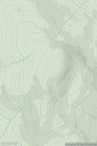
Cairngorms
0
1296.0User Activity
No recent Activity
0
Ascents
Knapdale and Kintyre
0
95.0User Activity
No recent Activity
0
Ascents
Minginish and the Cuillin Hills
0
944.0User Activity
No recent Activity
0
Ascents
Glen Lyon to Glen Dochart & Loch Tay
0
849.0User Activity
No recent Activity
0
Ascents
Loch Fyne to Bute and the Firth of Clyde
0
656.2User Activity
No recent Activity