


0
Ascents

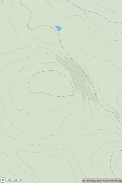
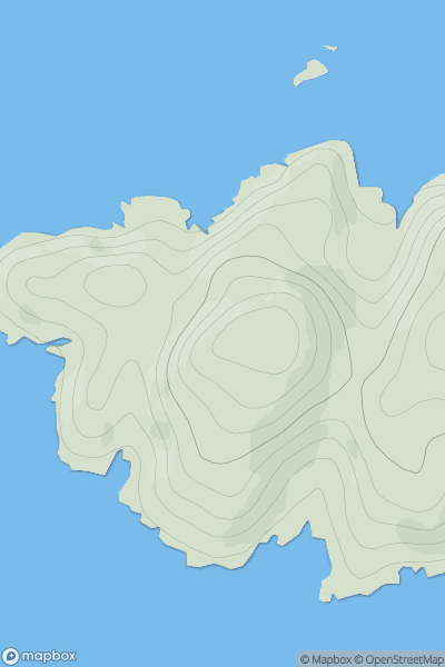
 The Glenkens to Annandale
 0
0 162.0
162.0User Activity
No recent Activity
0
Ascents
Harris and Nearby Islands
0
166.0User Activity
No recent Activity
0
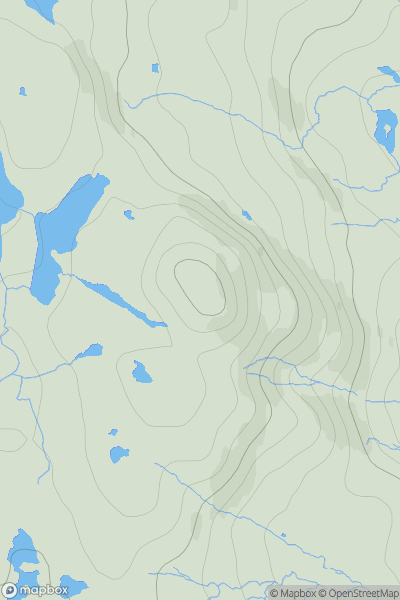
Ascents
The Glenkens to Annandale
0
324.0User Activity
No recent Activity
0
Ascents
Lewis and Nearby Islands
0
42.0User Activity
No recent Activity
0
Ascents
Lochinver to Ullapool
0
96.0User Activity
No recent Activity
0
Ascents
Central Scotland from Dumbarton to Montrose
0
407.0User Activity
No recent Activity