


0
Ascents

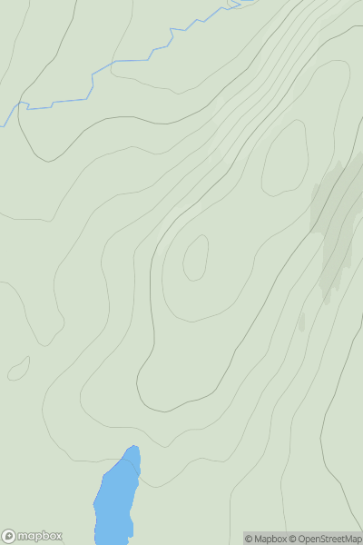
 Durness to Loch Shin
 0
0 229.0
229.0User Activity
No recent Activity
0
Ascents
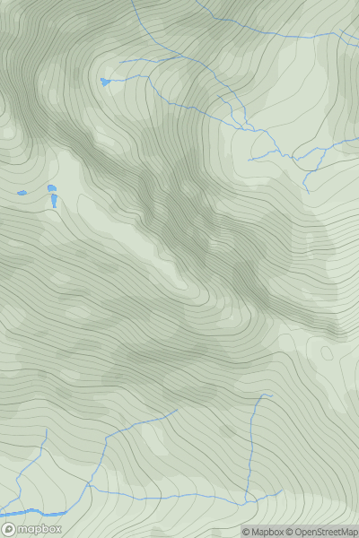
Knoydart to Glen Kingie
0
858.0User Activity
No recent Activity
0
Ascents
Fort William to Loch Treig & Loch Leven
0
231.1User Activity
No recent Activity
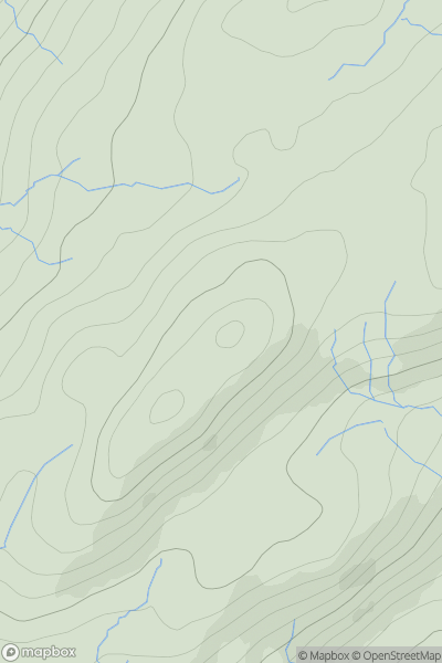
![Thumbnail image for Eilean Mor [Lochinver to Ullapool] [NC055174] showing contour plot for surrounding peak](/static/img/mountains_img_db/10071_Eilean_Mor_[Lochinver_to_Ullapool]_[NC055174].png)
0
Ascents
Lochinver to Ullapool
0
54.0User Activity
No recent Activity
0
Ascents
Glen Albyn and the Monadh Liath
0
277.0User Activity
No recent Activity
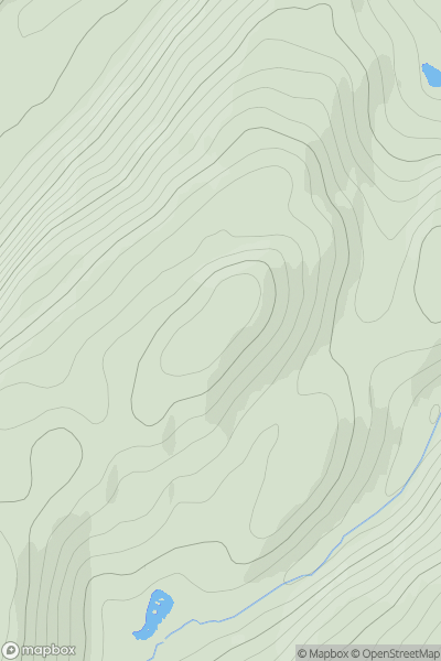
![Thumbnail image for Meall a' Chaorainn [Loch Broom to Strath Oykel] [NH360827] showing contour plot for surrounding peak](/static/img/mountains_img_db/1078_Meall_a'_Chaorainn_[Loch_Broom_to_Strath_Oykel]_[NH360827].png)
0
Ascents
Loch Broom to Strath Oykel
0
632.0User Activity
No recent Activity