


0
Ascents

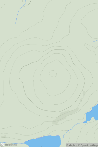
 Knapdale and Kintyre
 0
0 285.0
285.0User Activity
No recent Activity
0
Ascents
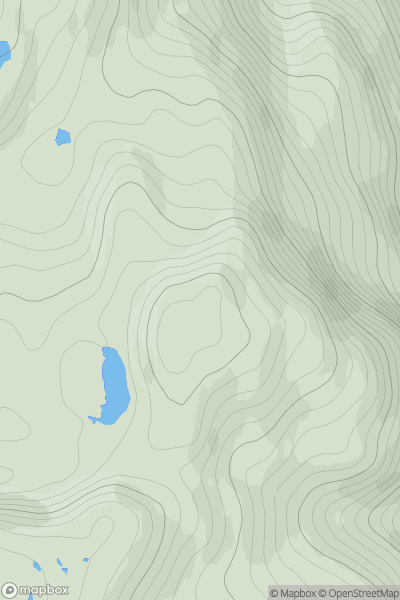
Mallaig to Fort William
0
373.0User Activity
No recent Activity
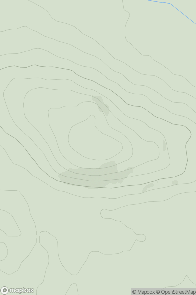
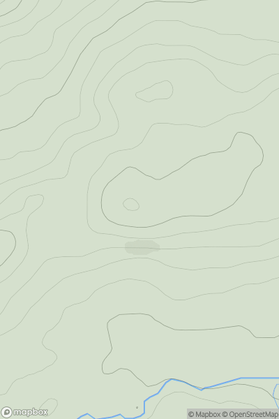
![Thumbnail image for Meall Reamhar [Loch Tay to Perth] [NN936464] showing contour plot for surrounding peak](/static/img/mountains_img_db/5692_Meall_Reamhar_[Loch_Tay_to_Perth]_[NN936464].png)
0
Ascents
Loch Tay to Perth
0
506.3User Activity
No recent Activity
0
Ascents
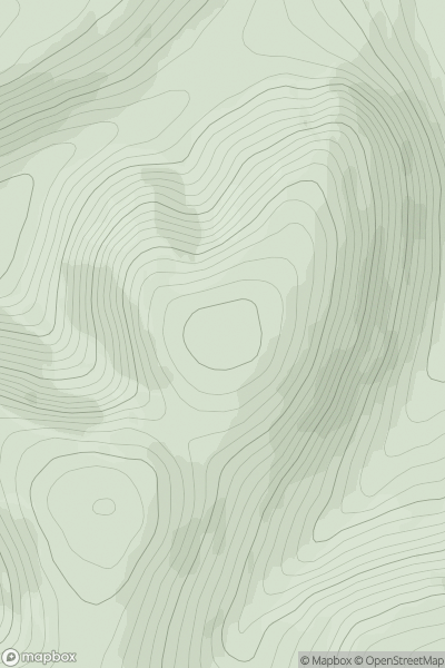
Fraserburgh to the Dee Valley
0
195.0User Activity
No recent Activity
0
Ascents
Carrick and Galloway
0
510.0User Activity
No recent Activity
0
Ascents
Central Scotland from Dumbarton to Montrose
0
314.6User Activity
No recent Activity