


0
Ascents

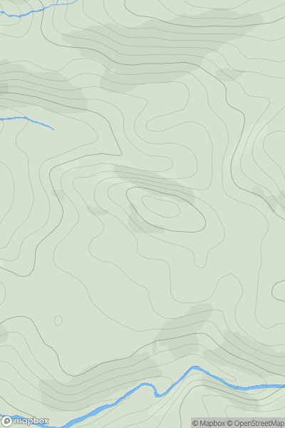
 Loch Torridon to Loch Maree
 0
0 173.0
173.0User Activity
No recent Activity
0
Ascents
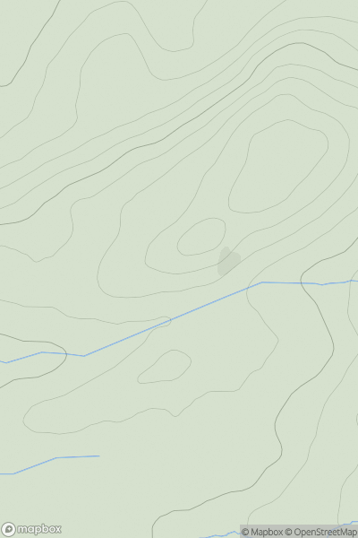
Knapdale and Kintyre
0
200.0User Activity
No recent Activity
0
Ascents
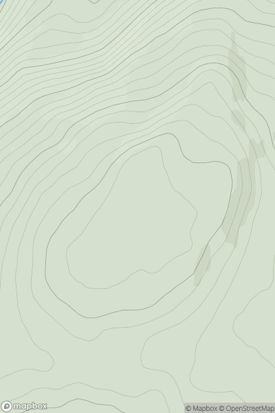
Loch Leven to Rannoch Station
0
426.0User Activity
No recent Activity
0
Ascents
Loch Lomond to Strathyre
0
598.2User Activity
No recent Activity
0
Ascents
Scourie to Lairg
0
163.0User Activity
No recent Activity
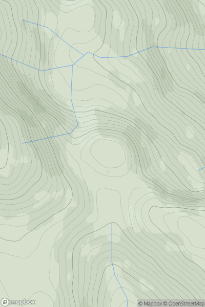
![Thumbnail image for Cnoc Reamhar [Loch Linnhe to Loch Etive] showing contour plot for surrounding peak](/static/img/mountains_img_db/8247_Cnoc_Reamhar_[Loch_Linnhe_to_Loch_Etive].png)
0
Ascents
Loch Linnhe to Loch Etive
0
46.0User Activity
No recent Activity