


0
Ascents

 Harris and Nearby Islands
 0
0 473.0
473.0User Activity
No recent Activity
0
Ascents
Loch Maree to Loch Broom
0
273.0User Activity
No recent Activity
0
Ascents
Killilan to Inverness
0
412.0User Activity
No recent Activity
0
Ascents
Lewis and Nearby Islands
0
82.0User Activity
No recent Activity
0
Ascents
Central Scotland from Dumbarton to Montrose
0
85.0User Activity
No recent Activity
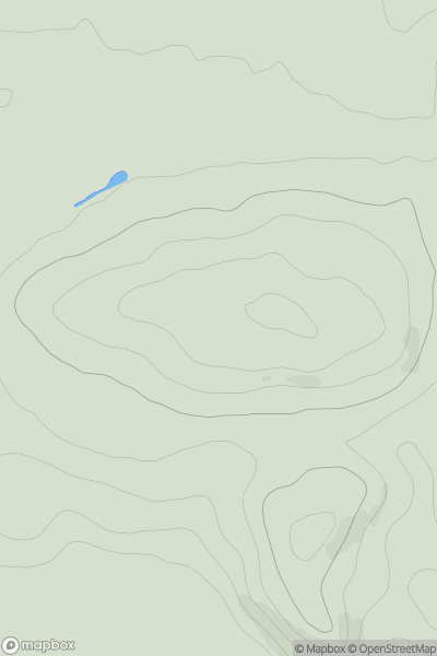
![Thumbnail image for The Saddle [Loch Fyne to Bute and the Firth of Clyde] showing contour plot for surrounding peak](/static/img/mountains_img_db/6986_The_Saddle_[Loch_Fyne_to_Bute_and_the_Firth_of_Clyde].png)
0
Ascents
Loch Fyne to Bute and the Firth of Clyde
0
520.6User Activity
No recent Activity