


0
Ascents

 Loch Ericht to Glen Tromie & Glen Garry
 0
0 644.2
644.2User Activity
No recent Activity
0
Ascents
The River Tweed to the English Border
0
268.0User Activity
No recent Activity
0
Ascents
Oban to Loch Fyne
0
210.0User Activity
No recent Activity
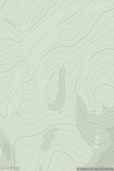
![Thumbnail image for Meall a' Chapuill [Kyle of Lochalsh to Garve] showing contour plot for surrounding peak](/static/img/mountains_img_db/8834_Meall_a'_Chapuill_[Kyle_of_Lochalsh_to_Garve].png)
0
Ascents
Kyle of Lochalsh to Garve
0
456.0User Activity
No recent Activity
0
Ascents
Loch Maree to Loch Broom
0
285.0User Activity
No recent Activity
0
Ascents
Glen Albyn and the Monadh Liath
0
423.0User Activity
No recent Activity