


0
Ascents

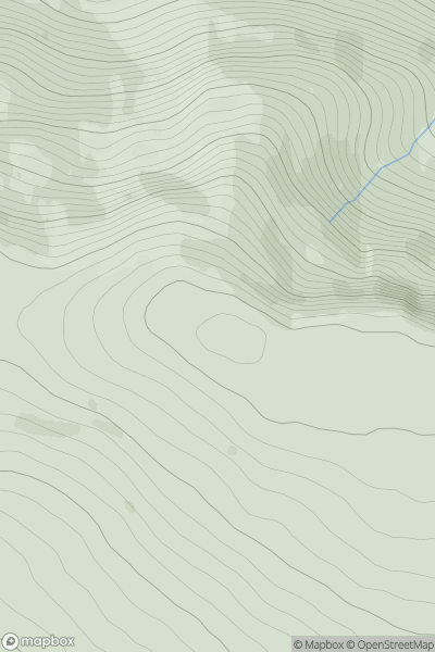
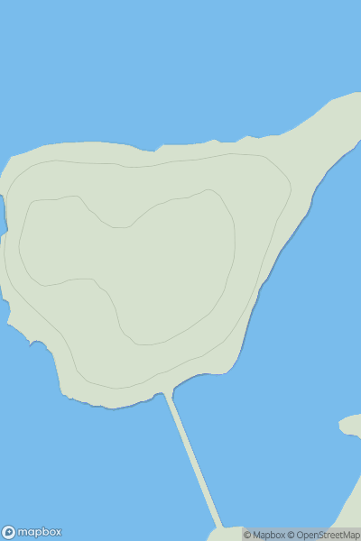
 Sunart and Ardgour
 0
0 567.0
567.0User Activity
No recent Activity
![Thumbnail image for Geal Charn [Loch Treig to Loch Ericht] showing contour plot for surrounding peak](/static/img/mountains_img_db/350_Geal_Charn_[Loch_Treig_to_Loch_Ericht].png)
0
Ascents
Loch Treig to Loch Ericht
0
1049.0User Activity
No recent Activity
0
Ascents
Loch Ericht to Glen Tromie & Glen Garry
0
721.7User Activity
No recent Activity
0
Ascents
Barra to Barra Head
0
195.0User Activity
No recent Activity
0
Ascents
Braemar to Montrose
0
379.0User Activity
No recent Activity
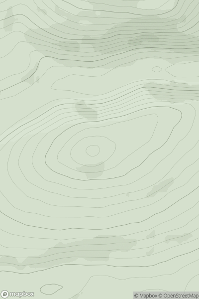
0
Ascents
Orkney Islands
0
32.0User Activity
No recent Activity