

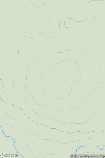
![Thumbnail image for Meallan Odhar [Killilan to Inverness] [NH248357] showing contour plot for surrounding peak](/static/img/mountains_img_db/4367_Meallan_Odhar_[Killilan_to_Inverness]_[NH248357].png)


0
Ascents

 Killilan to Inverness
 0
0 694.0
694.0User Activity
No recent Activity
0
Ascents
Firth of Forth to the River Tweed
0
240.2User Activity
No recent Activity
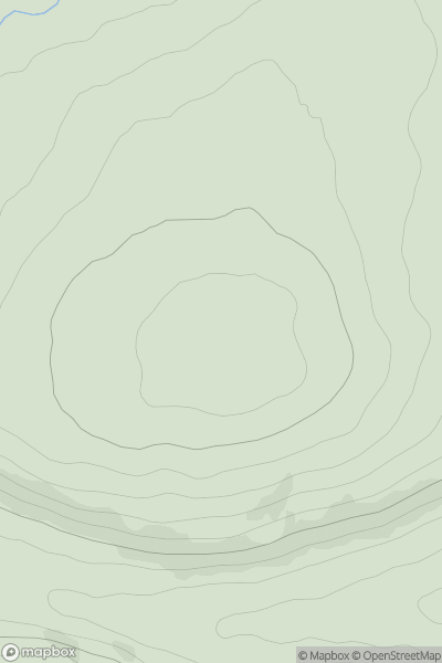
![Thumbnail image for An Creachan [Loch Fyne to Bute and the Firth of Clyde] showing contour plot for surrounding peak](/static/img/mountains_img_db/4858_An_Creachan_[Loch_Fyne_to_Bute_and_the_Firth_of_Clyde].png)
0
Ascents
Loch Fyne to Bute and the Firth of Clyde
0
580.0User Activity
No recent Activity
0
Ascents
Loch Vaich to Moray Firth
0
318.0User Activity
No recent Activity
.png)
0
Ascents
Applecross to Achnasheen
0
626.0User Activity
No recent Activity
0
Ascents
Braemar to Montrose
0
244.0User Activity
No recent Activity