


0
Ascents

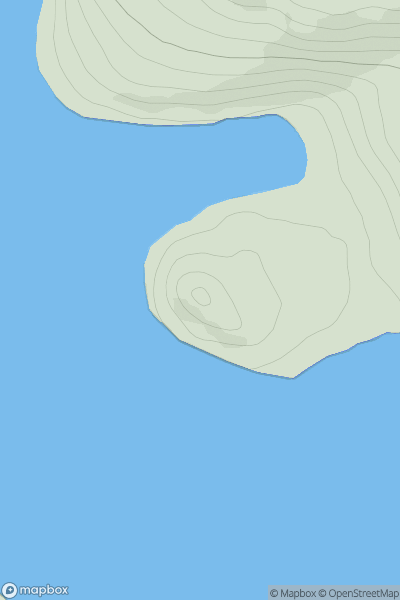
 North Skye and Raasay
 0
0 56.0
56.0User Activity
No recent Activity
0
Ascents
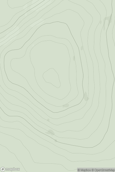
Scourie to Lairg
0
285.0User Activity
No recent Activity
0
Ascents
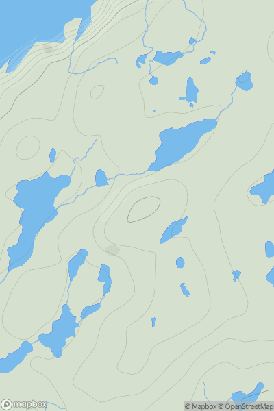
Shetland Islands
0
108.0User Activity
No recent Activity
0
Ascents
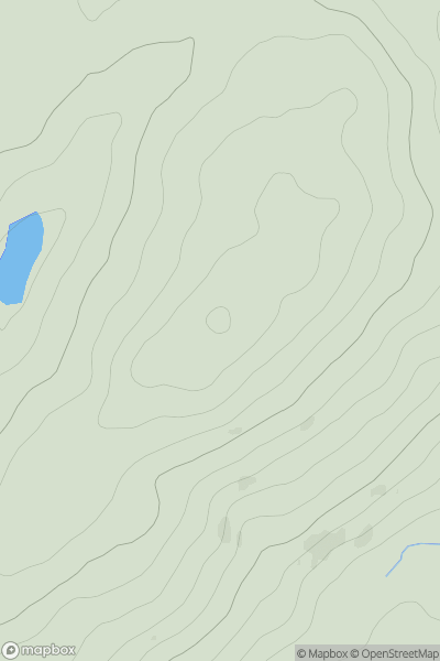
The Glenkens to Annandale
0
344.0User Activity
No recent Activity
![Thumbnail image for An Sligearnach [Glen Tromie to Glen Tilt] [NN849821] showing contour plot for surrounding peak](/static/img/mountains_img_db/5980_An_Sligearnach_[Glen_Tromie_to_Glen_Tilt]_[NN849821].png)
0
Ascents
Glen Tromie to Glen Tilt
0
836.2User Activity
No recent Activity
![Thumbnail image for Creag nan Speireag [Loch Lomond to Strathyre] showing contour plot for surrounding peak](/static/img/mountains_img_db/5743_Creag_nan_Speireag_[Loch_Lomond_to_Strathyre].png)
0
Ascents
Loch Lomond to Strathyre
0
625.0User Activity
No recent Activity