


0
Ascents

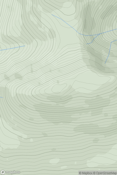
 Glen Etive to Glen Lochy
 0
0 898.4
898.4User Activity
No recent Activity
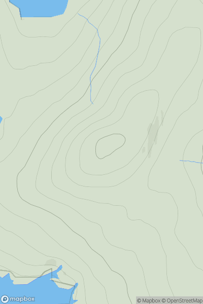
![Thumbnail image for Cnoc an t-Samhlaidh [Knapdale and Kintyre] [NR797493] showing contour plot for surrounding peak](/static/img/mountains_img_db/4851_Cnoc_an_t-Samhlaidh_[Knapdale_and_Kintyre]_[NR797493].png)
0
Ascents
Knapdale and Kintyre
0
264.0User Activity
No recent Activity
0
Ascents
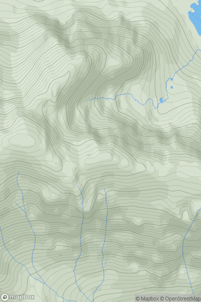
Loch Torridon to Loch Maree
0
974.1User Activity
No recent Activity
0
Ascents
Orkney Islands
0
108.0User Activity
No recent Activity
0
Ascents
Glen Tromie to Glen Tilt
0
621.0User Activity
No recent Activity
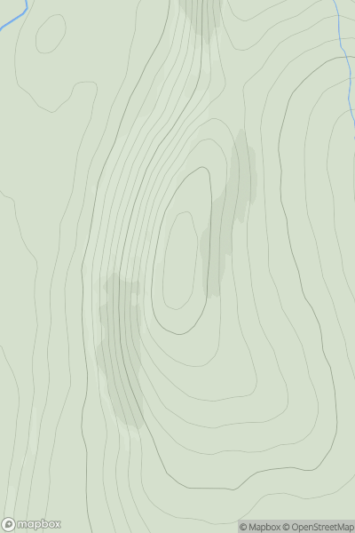
![Thumbnail image for An Dun [Loch Ericht to Glen Tromie & Glen Garry] [NN717805] showing contour plot for surrounding peak](/static/img/mountains_img_db/399_An_Dun_[Loch_Ericht_to_Glen_Tromie_&_Glen_Garry]_[NN717805].png)
0
Ascents
Loch Ericht to Glen Tromie & Glen Garry
0
827.4User Activity
No recent Activity