


0
Ascents

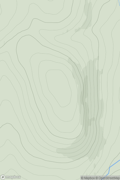
 Glen Tromie to Glen Tilt
 0
0 790.4
790.4User Activity
No recent Activity
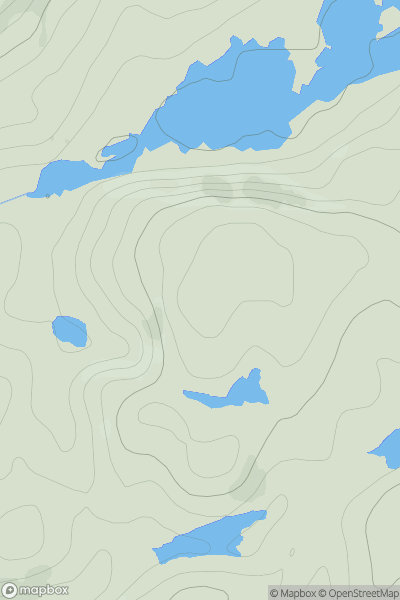
![Thumbnail image for Beinn Ghlas [Oban to Loch Fyne] [NM957259] showing contour plot for surrounding peak](/static/img/mountains_img_db/1386_Beinn_Ghlas_[Oban_to_Loch_Fyne]_[NM957259].png)
0
Ascents
Oban to Loch Fyne
0
512.0User Activity
No recent Activity
0
Ascents
Scourie to Lairg
0
131.0User Activity
No recent Activity
0
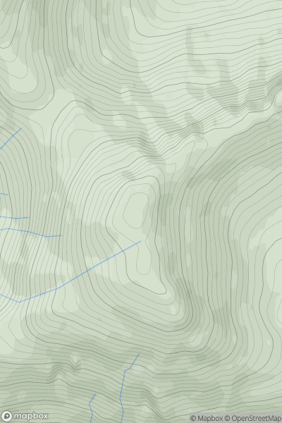
Ascents
Knoydart to Glen Kingie
0
835.0User Activity
No recent Activity
0
Ascents
Applecross to Achnasheen
0
526.0User Activity
No recent Activity
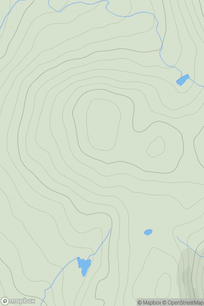
![Thumbnail image for Coomb Hill [The River Tweed to the English Border] showing contour plot for surrounding peak](/static/img/mountains_img_db/1892_Coomb_Hill_[The_River_Tweed_to_the_English_Border].png)
0
Ascents
The River Tweed to the English Border
0
640.0User Activity
No recent Activity