


0
Ascents

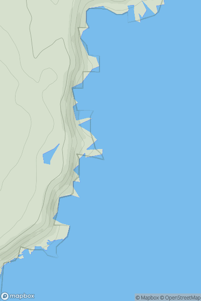
 Braemar to Montrose
 0
0 34.0
34.0User Activity
No recent Activity
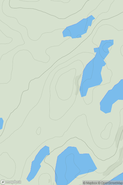
![Thumbnail image for Meall a' Choire Leith [Glen Affric to Glen Moriston] showing contour plot for surrounding peak](/static/img/mountains_img_db/6494_Meall_a'_Choire_Leith_[Glen_Affric_to_Glen_Moriston].png)
0
Ascents
Glen Affric to Glen Moriston
0
579.0User Activity
No recent Activity
0
Ascents
Oban to Loch Fyne
0
389.0User Activity
No recent Activity
0
Ascents
Sunart and Ardgour
0
722.0User Activity
No recent Activity
![Thumbnail image for Beinn Dhubh [North Skye and Raasay] showing contour plot for surrounding peak](/static/img/mountains_img_db/10346_Beinn_Dhubh_[North_Skye_and_Raasay].png)
0
Ascents
North Skye and Raasay
0
154.0User Activity
No recent Activity
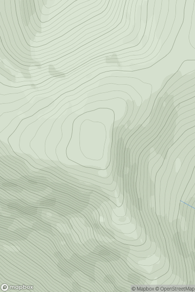
![Thumbnail image for Beinn Ghlas [Oban to Loch Fyne] [NR989992] showing contour plot for surrounding peak](/static/img/mountains_img_db/1392_Beinn_Ghlas_[Oban_to_Loch_Fyne]_[NR989992].png)
0
Ascents
Oban to Loch Fyne
0
420.0User Activity
No recent Activity