


0
Ascents

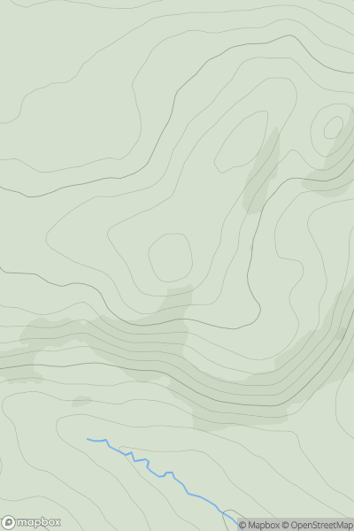
 Loch Tay to Perth
 0
0 392.0
392.0User Activity
No recent Activity
![Thumbnail image for Cats Craig [The Glenkens to Annandale] showing contour plot for surrounding peak](/static/img/mountains_img_db/13508_Cats_Craig_[The_Glenkens_to_Annandale].png)
0
Ascents
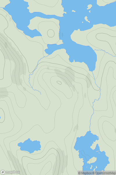
The Glenkens to Annandale
0
194.0User Activity
No recent Activity
0
Ascents
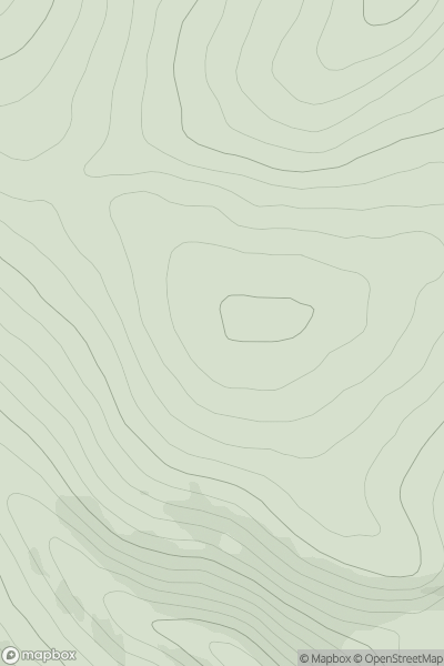
Scourie to Lairg
0
114.0User Activity
No recent Activity
0
Ascents
Inverness to Strathspey
0
503.0User Activity
No recent Activity
![Thumbnail image for Beinn Tharsuinn [Loch Fyne to Bute and the Firth of Clyde] showing contour plot for surrounding peak](/static/img/mountains_img_db/4540_Beinn_Tharsuinn_[Loch_Fyne_to_Bute_and_the_Firth_of_Clyde].png)
0
Ascents
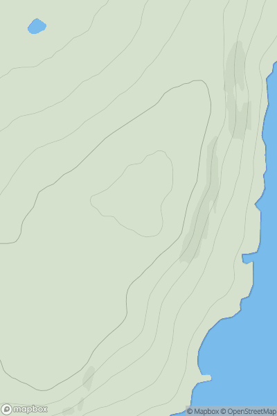
Loch Fyne to Bute and the Firth of Clyde
0
619.2User Activity
No recent Activity
0
Ascents
Orkney Islands
0
66.0User Activity
No recent Activity