


0
Ascents

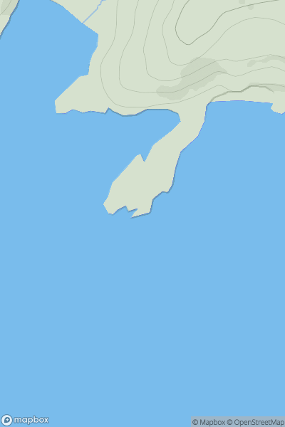
 Cape Wrath Peninsula
 0
0 30.0
30.0User Activity
No recent Activity
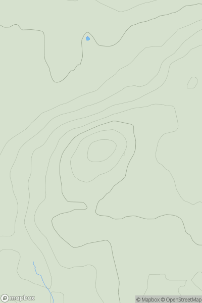
![Thumbnail image for Mid Hill [Tomintoul to Banff] showing contour plot for surrounding peak](/static/img/mountains_img_db/7048_Mid_Hill_[Tomintoul_to_Banff].png)
0
Ascents
Tomintoul to Banff
0
518.0User Activity
No recent Activity
0
Ascents
Braemar to Montrose
0
687.0User Activity
No recent Activity
0
Ascents
Islay
0
130.0User Activity
No recent Activity
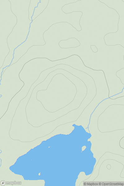
![Thumbnail image for Carn Mor [Tongue to Wick and Helmsdale] showing contour plot for surrounding peak](/static/img/mountains_img_db/9361_Carn_Mor_[Tongue_to_Wick_and_Helmsdale].png)
0
Ascents
Tongue to Wick and Helmsdale
0
474.0User Activity
No recent Activity
0
Ascents
Ayr to the River Clyde
0
239.0User Activity
No recent Activity