


0
Ascents

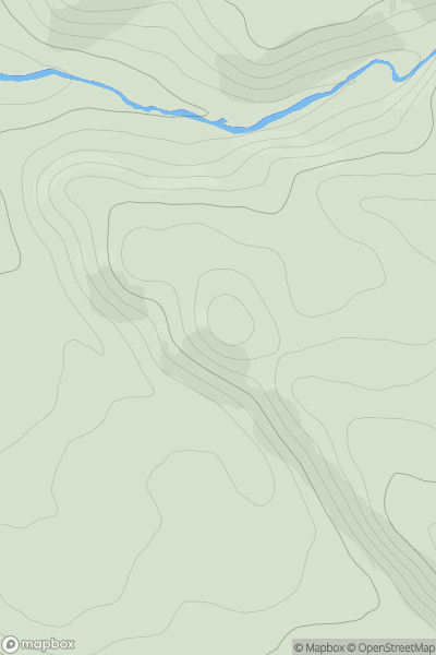
 Loch Torridon to Loch Maree
 0
0 149.0
149.0User Activity
No recent Activity
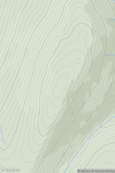
![Thumbnail image for Meall na h-Iolaire [Loch Ericht to Glen Tromie & Glen Garry] showing contour plot for surrounding peak](/static/img/mountains_img_db/8285_Meall_na_h-Iolaire_[Loch_Ericht_to_Glen_Tromie_&_Glen_Garry].png)
0
Ascents
Loch Ericht to Glen Tromie & Glen Garry
0
442.0User Activity
No recent Activity
0
Ascents
South-East Skye and Scalpay
0
350.0User Activity
No recent Activity
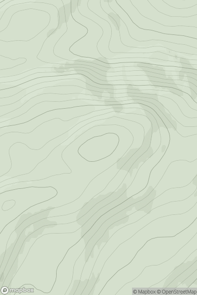
![Thumbnail image for Wardlaw Hill [Ayr to the River Clyde] showing contour plot for surrounding peak](/static/img/mountains_img_db/13613_Wardlaw_Hill_[Ayr_to_the_River_Clyde].png)
0
Ascents
Ayr to the River Clyde
0
146.6User Activity
No recent Activity
0
Ascents
South-East Skye and Scalpay
0
106.0User Activity
No recent Activity
0
Ascents
Killilan to Inverness
0
661.8User Activity
No recent Activity