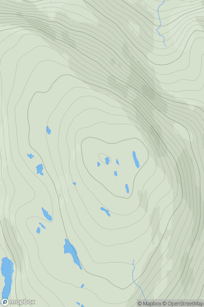
Ariel drone view of mountainous landscape with rolling clouds flowing over peak

Journal your hikes and share your adventures.

Bag peaks across the UK & Ireland, track your progress and see updates from Donder's growing community of hikers.

Donder's profile view available to users after sign-up, shows example user with progress tracking, hiking journal and user leaderboard

Thumbnail image for An Staonach showing contour plot for surrounding peak
SCO
Icon of location pin
516m
Icon of vertical, double ended, arrow to symbolise height of mountain

An Staonach

Icon of mountain used to symbolise the number of ascents made by users

0
Ascents

Thumbnail image for Benfadyeon showing contour plot for surrounding peak
SCO
Icon of location pin
279m
Icon of vertical, double ended, arrow to symbolise height of mountain

Benfadyeon

Icon of mountain used to symbolise the number of ascents made by users

0
Ascents

Thumbnail image for Cleit Bheag showing contour plot for surrounding peak
SCO
Icon of location pin
37m
Icon of vertical, double ended, arrow to symbolise height of mountain

Cleit Bheag

Icon of mountain used to symbolise the number of ascents made by users

0
Ascents

Thumbnail image for Carn an Lochan showing contour plot for surrounding peak
SCO
Icon of location pin
646m
Icon of vertical, double ended, arrow to symbolise height of mountain

Carn an Lochan

Icon of mountain used to symbolise the number of ascents made by users

0
Ascents

Thumbnail image for Carn na Snaobhaig showing contour plot for surrounding peak
SCO
Icon of location pin
197m
Icon of vertical, double ended, arrow to symbolise height of mountain

Carn na Snaobhaig

Icon of mountain used to symbolise the number of ascents made by users

0
Ascents

Thumbnail image for Beinn Mheadhanach showing contour plot for surrounding peak
SCO
Icon of location pin
184m
Icon of vertical, double ended, arrow to symbolise height of mountain

Beinn Mheadhanach

Icon of mountain used to symbolise the number of ascents made by users

0
Ascents