


0
Ascents

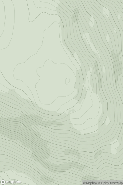
 Loch Fyne to Bute and the Firth of Clyde
 0
0 385.0
385.0User Activity
No recent Activity
.png)
0
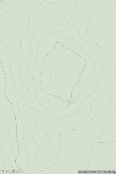
Ascents
Loch Duich to Cannich
0
702.2User Activity
No recent Activity
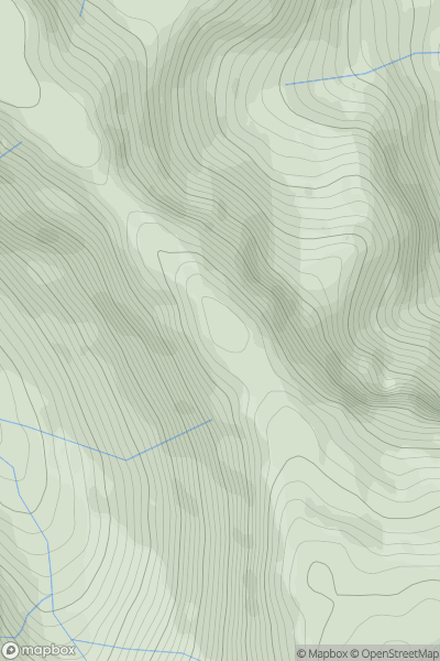
![Thumbnail image for Meikle Hill [Inverness to Strathspey] showing contour plot for surrounding peak](/static/img/mountains_img_db/8599_Meikle_Hill_[Inverness_to_Strathspey].png)
0
Ascents
Inverness to Strathspey
0
288.0User Activity
No recent Activity
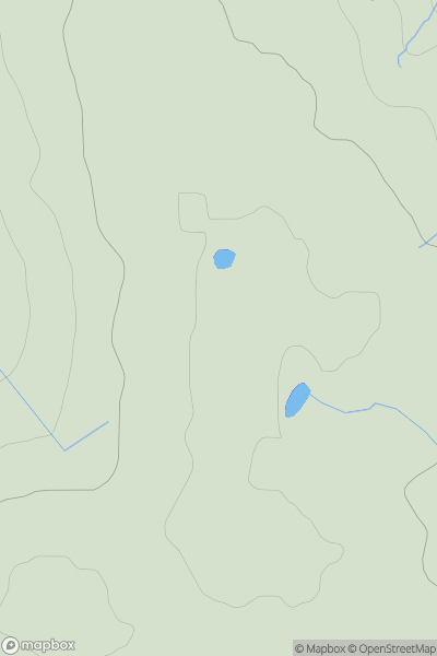
0
Ascents
The Glenkens to Annandale
0
165.0User Activity
No recent Activity
0
Ascents
Glen Etive to Glen Lochy
0
894.7User Activity
No recent Activity
0
Ascents
Fraserburgh to the Dee Valley
0
213.0User Activity
No recent Activity