


0
Ascents

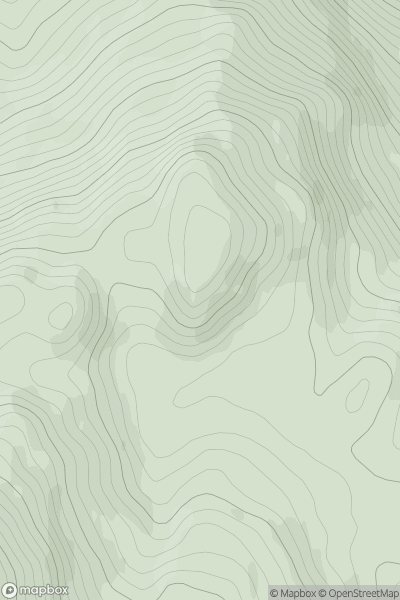
 Loch Fyne to Bute and the Firth of Clyde
 0
0 400.0
400.0User Activity
No recent Activity
0
Ascents
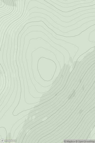
The River Tweed to the English Border
0
661.0User Activity
No recent Activity
0
Ascents
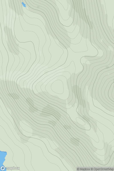
North Uist, South Uist and Nearby Islands
0
258.0User Activity
No recent Activity
0
Ascents
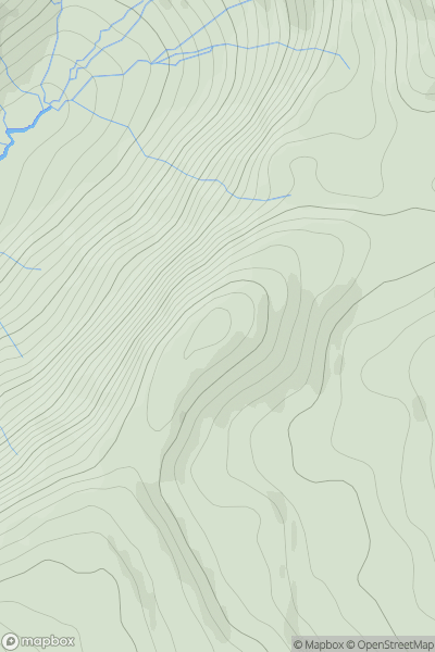
Moidart and Ardnamurchan
0
530.0User Activity
No recent Activity
0
Ascents
Cairngorms
0
743.0User Activity
No recent Activity
0
Ascents
Durness to Loch Shin
0
408.0User Activity
No recent Activity