


0
Ascents

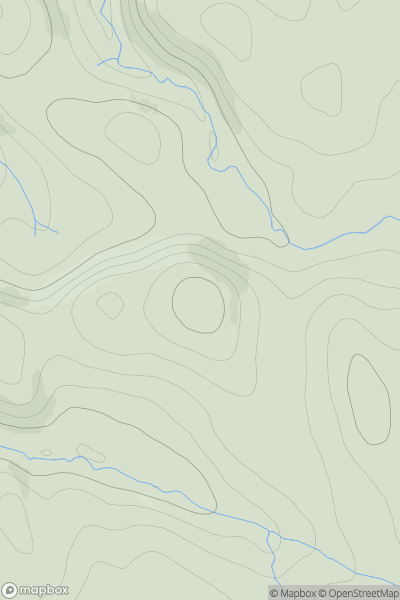
 Scourie to Lairg
 0
0 764.0
764.0User Activity
No recent Activity
0
Ascents
Tongue to Wick and Helmsdale
0
160.0User Activity
No recent Activity
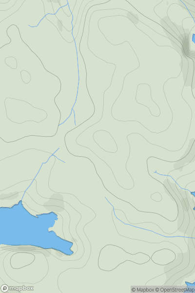
0
Ascents
North Skye and Raasay
0
86.0User Activity
No recent Activity
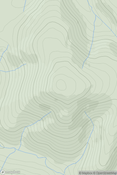
![Thumbnail image for Meall Dubh [Glen Tromie to Glen Tilt] showing contour plot for surrounding peak](/static/img/mountains_img_db/5989_Meall_Dubh_[Glen_Tromie_to_Glen_Tilt].png)
0
Ascents
Glen Tromie to Glen Tilt
0
569.0User Activity
No recent Activity
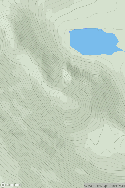
_-_Ganu_Mor.png)
0
Ascents
Durness to Loch Shin
0
911.05User Activity
No recent Activity
0
Ascents
The River Tweed to the English Border
0
487.0User Activity
No recent Activity