

![Thumbnail image for Hillhead Hill [Ayr to the River Clyde] showing contour plot for surrounding peak](/static/img/mountains_img_db/13418_Hillhead_Hill_[Ayr_to_the_River_Clyde].png)


0
Ascents

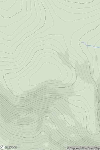
 Ayr to the River Clyde
 0
0 253.0
253.0User Activity
No recent Activity
0
Ascents
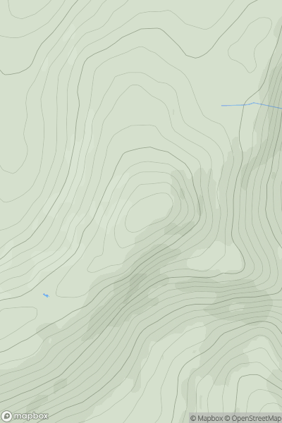
The Glenkens to Annandale
0
642.0User Activity
No recent Activity
0
Ascents
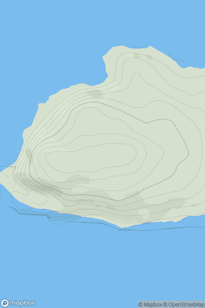
Carrick and Galloway
0
657.0User Activity
No recent Activity

0
Ascents
Killilan to Inverness
0
879.0User Activity
No recent Activity
0
Ascents
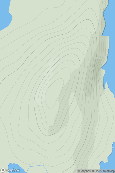
Mull and Nearby Islands
0
99.0User Activity
No recent Activity
0
Ascents
Shetland Islands
0
144.0User Activity
No recent Activity