

![Thumbnail image for Cauldshiels Hill [The River Tweed to the English Border] [NT512325] showing contour plot for surrounding peak](/static/img/mountains_img_db/14168_Cauldshiels_Hill_[The_River_Tweed_to_the_English_Border]_[NT512325].png)


0
Ascents

 The River Tweed to the English Border
 0
0 268.0
268.0User Activity
No recent Activity
![Thumbnail image for Beinn Lochain [Loch Long to Loch Lomond] showing contour plot for surrounding peak](/static/img/mountains_img_db/5807_Beinn_Lochain_[Loch_Long_to_Loch_Lomond].png)
0
Ascents
Loch Long to Loch Lomond
0
698.0User Activity
No recent Activity
![Thumbnail image for Dod Hill [The River Tweed to the English Border] [NT697127] showing contour plot for surrounding peak](/static/img/mountains_img_db/14110_Dod_Hill_[The_River_Tweed_to_the_English_Border]_[NT697127].png)
0
Ascents
The River Tweed to the English Border
0
297.0User Activity
No recent Activity
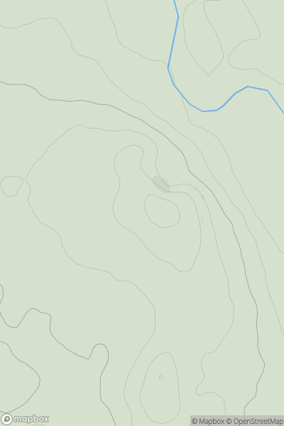
0
Ascents
Carrick and Galloway
0
90.0User Activity
No recent Activity
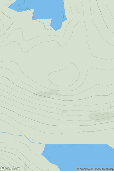
0
Ascents
Loch Vaich to Moray Firth
0
648.0User Activity
No recent Activity
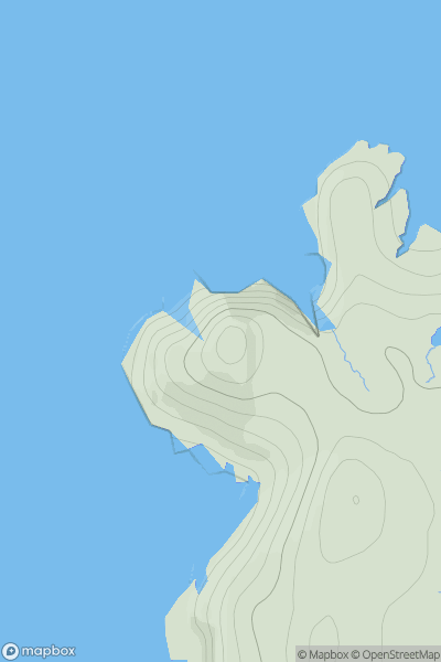
0
Ascents
Lewis and Nearby Islands
0
89.0User Activity
No recent Activity