

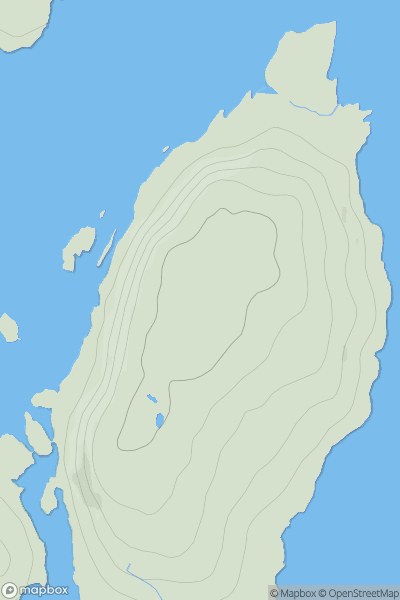
![Thumbnail image for Meall na Moine [Loch Rannoch to Glen Lyon] showing contour plot for surrounding peak](/static/img/mountains_img_db/5840_Meall_na_Moine_[Loch_Rannoch_to_Glen_Lyon].png)


0
Ascents

 Loch Rannoch to Glen Lyon
 0
0 491.0
491.0User Activity
No recent Activity
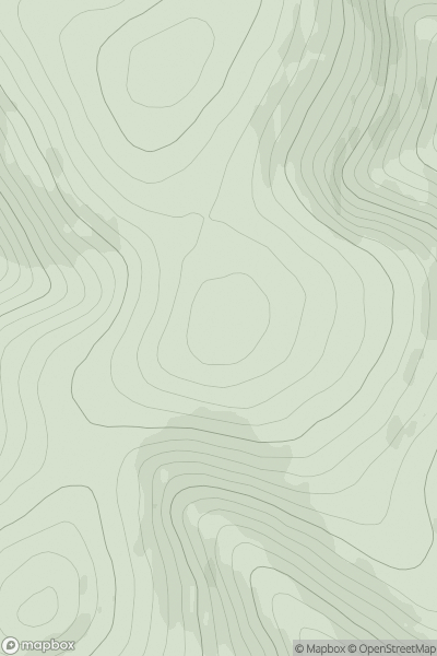
![Thumbnail image for Creag an Fhithich [Glen Lyon to Glen Dochart & Loch Tay] showing contour plot for surrounding peak](/static/img/mountains_img_db/147_Creag_an_Fhithich_[Glen_Lyon_to_Glen_Dochart_&_Loch_Tay].png)
0
Ascents
Glen Lyon to Glen Dochart & Loch Tay
0
1047.0User Activity
No recent Activity
0
Ascents
Oban to Loch Fyne
0
62.0User Activity
No recent Activity
0
Ascents
The River Tweed to the English Border
0
503.0User Activity
No recent Activity
![Thumbnail image for Craig Hill [Carrick and Galloway] [NX524635] showing contour plot for surrounding peak](/static/img/mountains_img_db/13246_Craig_Hill_[Carrick_and_Galloway]_[NX524635].png)
0
Ascents
Carrick and Galloway
0
357.0User Activity
No recent Activity
![Thumbnail image for Gaada Stack [Shetland Islands] [HU238453] showing contour plot for surrounding peak](/static/img/mountains_img_db/12166_Gaada_Stack_[Shetland_Islands]_[HU238453].png)
0
Ascents
Shetland Islands
0
33.0User Activity
No recent Activity