


0
Ascents

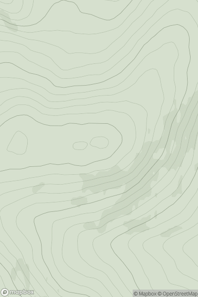
 The River Tweed to the English Border
 0
0 467.0
467.0User Activity
No recent Activity
0
Ascents
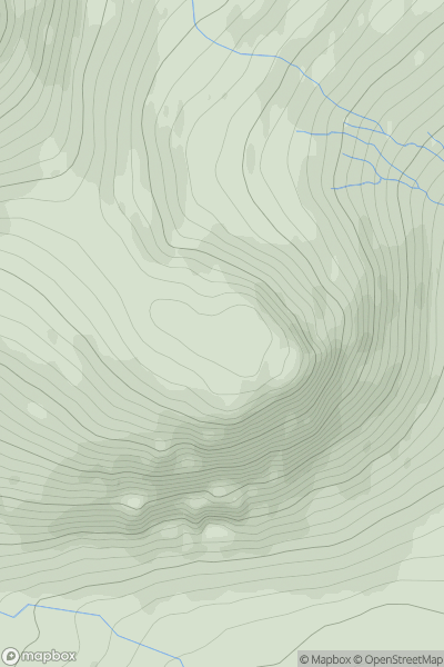
Glen Etive to Glen Lochy
0
703.0User Activity
No recent Activity
0
Ascents
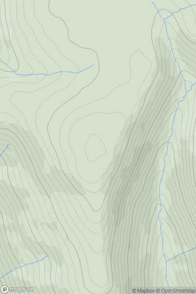
Central Scotland from Dumbarton to Montrose
0
583.0User Activity
No recent Activity
0
Ascents
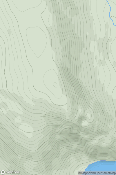
Kyle of Lochalsh to Garve
0
529.0User Activity
No recent Activity
0
Ascents
Lochinver to Ullapool
0
124.0User Activity
No recent Activity
0
Ascents
Harris and Nearby Islands
0
51.0User Activity
No recent Activity