


0
Ascents

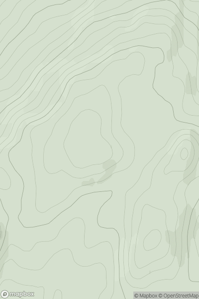
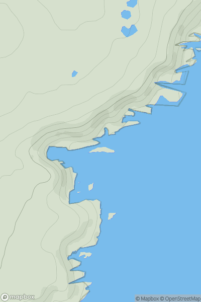
 Loch Fyne to Bute and the Firth of Clyde
 0
0 398.0
398.0User Activity
No recent Activity
0
Ascents
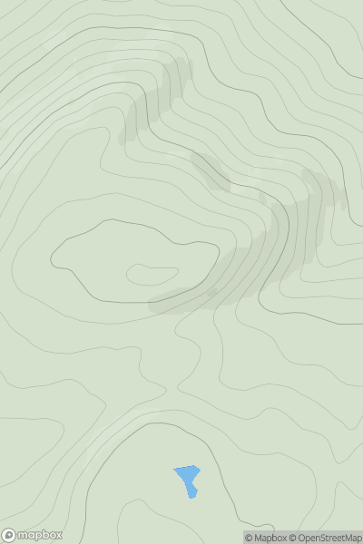
Glen Affric to Glen Moriston
0
576.0User Activity
No recent Activity
0
Ascents
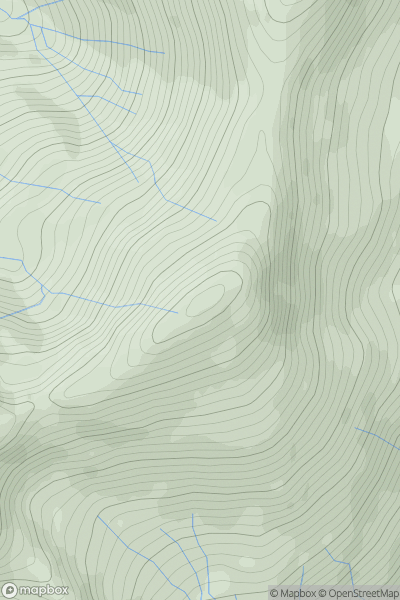
Glen Shiel to Loch Hourn and Loch Quoich
0
885.5User Activity
No recent Activity
0
Ascents
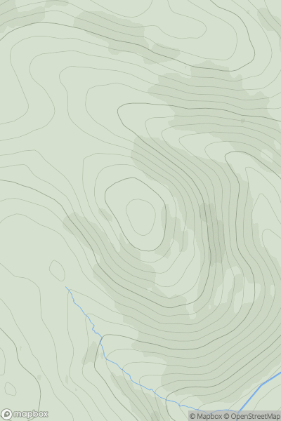
The River Tweed to the English Border
0
568.0User Activity
No recent Activity
0
Ascents
Fraserburgh to the Dee Valley
0
37.3User Activity
No recent Activity
0
Ascents
The Glenkens to Annandale
0
277.0User Activity
No recent Activity