


0
Ascents

 Oban to Loch Fyne
 0
0 315.0
315.0User Activity
No recent Activity
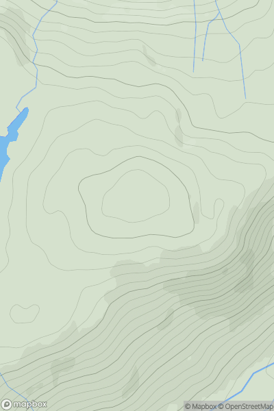
![Thumbnail image for Meall nan Eun [Loch Broom to Strath Oykel] showing contour plot for surrounding peak](/static/img/mountains_img_db/9276_Meall_nan_Eun_[Loch_Broom_to_Strath_Oykel].png)
0
Ascents
Loch Broom to Strath Oykel
0
388.4User Activity
No recent Activity
0
Ascents
The Glenkens to Annandale
0
568.0User Activity
No recent Activity
0
Ascents
Glen Albyn and the Monadh Liath
0
778.2User Activity
No recent Activity
0
Ascents
Braemar to Montrose
0
525.0User Activity
No recent Activity
0
Ascents
Inveraray to Crianlarich
0
524.0User Activity
No recent Activity