


0
Ascents

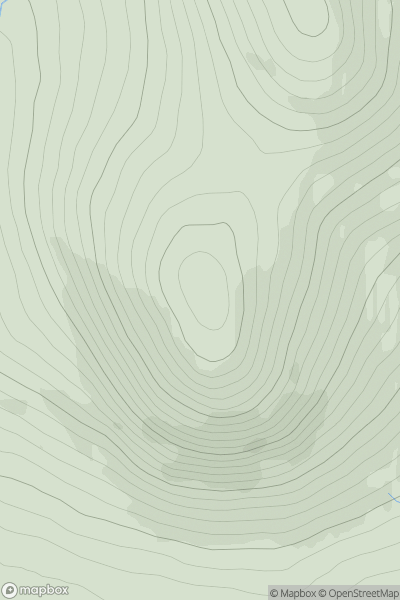
 Harris and Nearby Islands
 0
0 271.0
271.0User Activity
No recent Activity
0
Ascents
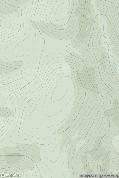
Firth of Forth to the River Tweed
0
549.0User Activity
No recent Activity
0
Ascents
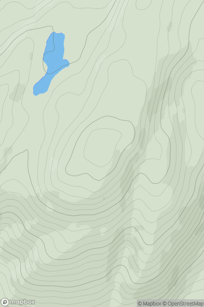
Loch Linnhe to Loch Etive
0
473.0User Activity
No recent Activity
0
Ascents
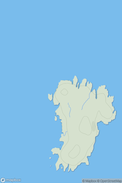
Lochinver to Ullapool
0
30.0User Activity
No recent Activity
0
Ascents
The River Tweed to the English Border
0
332.0User Activity
No recent Activity
0
Ascents
The River Tweed to the English Border
0
529.0User Activity
No recent Activity