

![Thumbnail image for Meall Garbh [Glen Etive to Glen Lochy] [NN196480] showing contour plot for surrounding peak](/static/img/mountains_img_db/4032_Meall_Garbh_[Glen_Etive_to_Glen_Lochy]_[NN196480].png)


0
Ascents

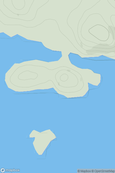
 Glen Etive to Glen Lochy
 0
0 703.0
703.0User Activity
No recent Activity
![Thumbnail image for Rodger Law [The River Tweed to the English Border] showing contour plot for surrounding peak](/static/img/mountains_img_db/7396_Rodger_Law_[The_River_Tweed_to_the_English_Border].png)
0
Ascents
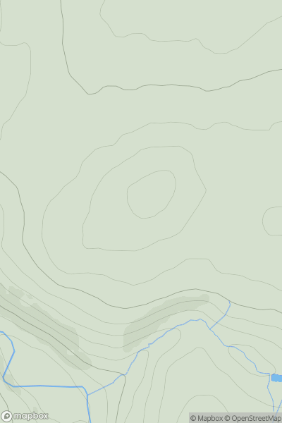
The River Tweed to the English Border
0
541.0User Activity
No recent Activity
0
Ascents
Loch Fyne to Bute and the Firth of Clyde
0
37.0User Activity
No recent Activity
![Thumbnail image for Meall Mor [Loch Tay to Perth] [NN849348] showing contour plot for surrounding peak](/static/img/mountains_img_db/3905_Meall_Mor_[Loch_Tay_to_Perth]_[NN849348].png)
0
Ascents
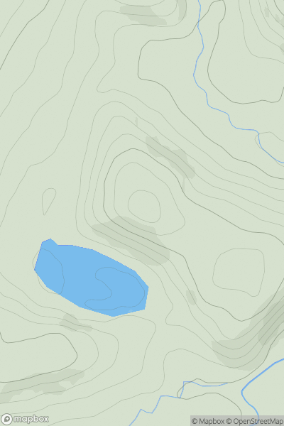
Loch Tay to Perth
0
704.2User Activity
No recent Activity
0
Ascents
The River Tweed to the English Border
0
233.7User Activity
No recent Activity
0
Ascents
The River Tweed to the English Border
0
280.9User Activity
No recent Activity