


0
Ascents

 Shetland Islands
 0
0 86.0
86.0User Activity
No recent Activity
0
Ascents
Loch Broom to Strath Oykel
0
836.2User Activity
No recent Activity
0
Ascents
Firth of Forth to the River Tweed
0
172.0User Activity
No recent Activity
0
Ascents
Loch Fyne to Bute and the Firth of Clyde
0
635.0User Activity
No recent Activity
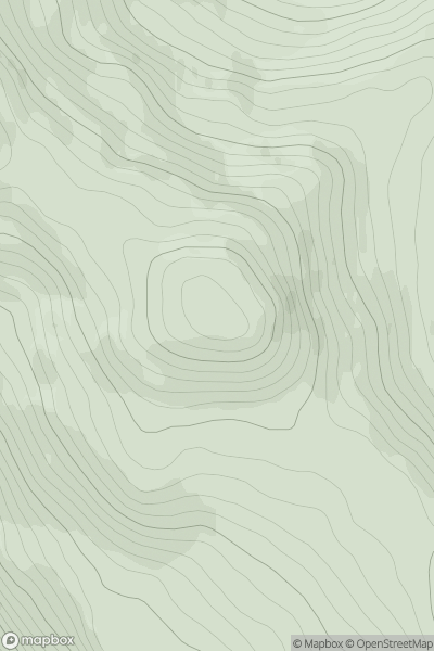
![Thumbnail image for The Rig [The River Tweed to the English Border] showing contour plot for surrounding peak](/static/img/mountains_img_db/13879_The_Rig_[The_River_Tweed_to_the_English_Border].png)
0
Ascents
The River Tweed to the English Border
0
423.0User Activity
No recent Activity
0
Ascents
The Glenkens to Annandale
0
298.0User Activity
No recent Activity