

![Thumbnail image for Kirkton Hill [The River Tweed to the English Border] showing contour plot for surrounding peak](/static/img/mountains_img_db/14154_Kirkton_Hill_[The_River_Tweed_to_the_English_Border].png)


0
Ascents

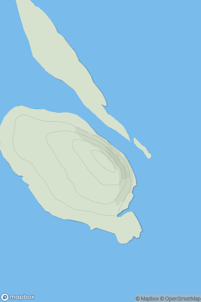
 The River Tweed to the English Border
 0
0 275.0
275.0User Activity
No recent Activity
![Thumbnail image for Beinn Ghlas [Inveraray to Crianlarich] showing contour plot for surrounding peak](/static/img/mountains_img_db/90_Beinn_Ghlas_[Inveraray_to_Crianlarich].png)
0
Ascents
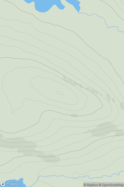
Inveraray to Crianlarich
0
551.2User Activity
No recent Activity
![Thumbnail image for Beinn Tharsuinn [Kyle of Lochalsh to Garve] showing contour plot for surrounding peak](/static/img/mountains_img_db/904_Beinn_Tharsuinn_[Kyle_of_Lochalsh_to_Garve].png)
0
Ascents
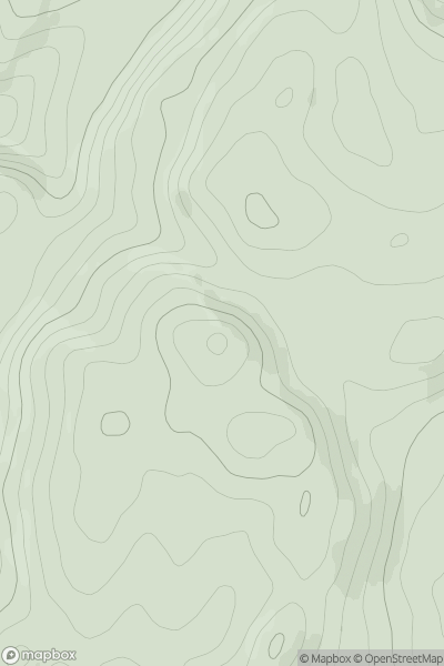
Kyle of Lochalsh to Garve
0
863.0User Activity
No recent Activity
0
Ascents
North Skye and Raasay
0
57.0User Activity
No recent Activity
0
Ascents
Altnaharra to Dornoch
0
283.0User Activity
No recent Activity
0
Ascents
Oban to Loch Fyne
0
230.0User Activity
No recent Activity