

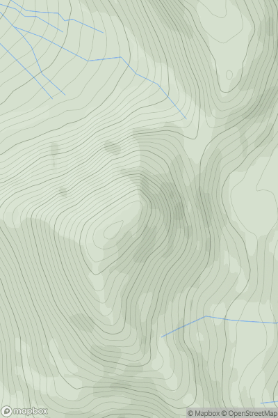
![Thumbnail image for Great Hill [The River Tweed to the English Border] [NY197911] showing contour plot for surrounding peak](/static/img/mountains_img_db/14130_Great_Hill_[The_River_Tweed_to_the_English_Border]_[NY197911].png)


0
Ascents

 The River Tweed to the English Border
 0
0 286.9
286.9User Activity
No recent Activity
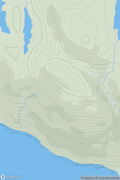
![Thumbnail image for Cruach nan Cuilean [Knapdale and Kintyre] [NR827732] showing contour plot for surrounding peak](/static/img/mountains_img_db/10824_Cruach_nan_Cuilean_[Knapdale_and_Kintyre]_[NR827732].png)
0
Ascents
Knapdale and Kintyre
0
341.0User Activity
No recent Activity
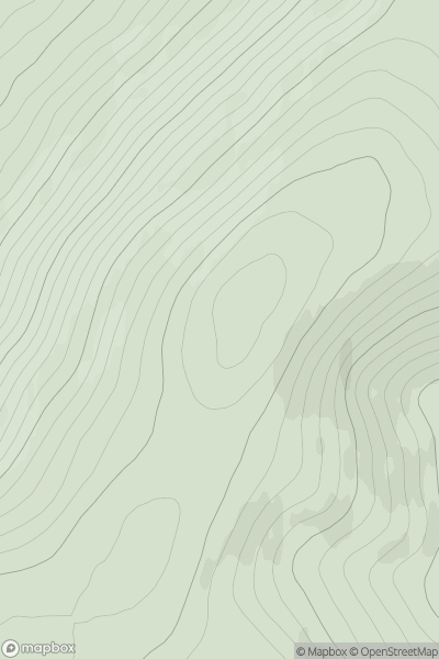
![Thumbnail image for Beinn Dubhain [Loch Fyne to Bute and the Firth of Clyde] showing contour plot for surrounding peak](/static/img/mountains_img_db/4533_Beinn_Dubhain_[Loch_Fyne_to_Bute_and_the_Firth_of_Clyde].png)
0
Ascents
Loch Fyne to Bute and the Firth of Clyde
0
649.0User Activity
No recent Activity
0
Ascents
Loch Lomond to Strathyre
0
1045.9User Activity
No recent Activity
0
Ascents
Moidart and Ardnamurchan
0
285.0User Activity
No recent Activity
0
Ascents
Tomintoul to Banff
0
477.0User Activity
No recent Activity