

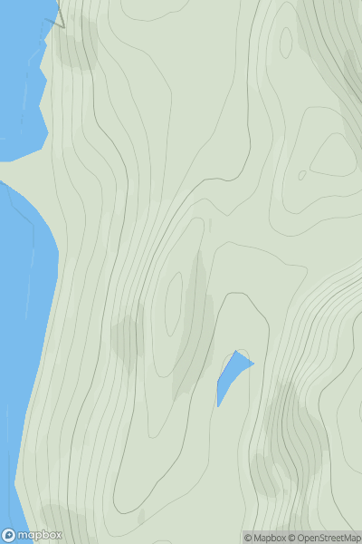
![Thumbnail image for Doon Hill [Carrick and Galloway] [NX252963] showing contour plot for surrounding peak](/static/img/mountains_img_db/13426_Doon_Hill_[Carrick_and_Galloway]_[NX252963].png)


0
Ascents

 Carrick and Galloway
 0
0 247.0
247.0User Activity
No recent Activity
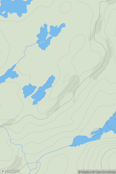
![Thumbnail image for Troston Hill [The Glenkens to Annandale] [NX930685] showing contour plot for surrounding peak](/static/img/mountains_img_db/7288_Troston_Hill_[The_Glenkens_to_Annandale]_[NX930685].png)
0
Ascents
The Glenkens to Annandale
0
212.0User Activity
No recent Activity
0
Ascents
Durness to Loch Shin
0
142.0User Activity
No recent Activity
![Thumbnail image for Creag Dhubh [Morvern and Kingairloch] showing contour plot for surrounding peak](/static/img/mountains_img_db/6930_Creag_Dhubh_[Morvern_and_Kingairloch].png)
0
Ascents
Morvern and Kingairloch
0
491.0User Activity
No recent Activity
![Thumbnail image for Sron Garbh [Loch Treig to Loch Ericht] showing contour plot for surrounding peak](/static/img/mountains_img_db/355_Sron_Garbh_[Loch_Treig_to_Loch_Ericht].png)
0
Ascents
Loch Treig to Loch Ericht
0
1023.0User Activity
No recent Activity
0
Ascents
Scourie to Lairg
0
142.0User Activity
No recent Activity