

![Thumbnail image for Beinn a' Chaorainn [Loch Lochy to Loch Laggan] showing contour plot for surrounding peak](/static/img/mountains_img_db/663_Beinn_a'_Chaorainn_[Loch_Lochy_to_Loch_Laggan].png)


0
Ascents

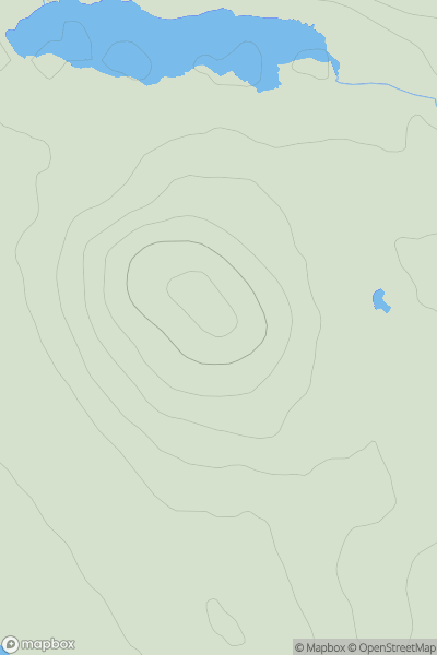
 Loch Lochy to Loch Laggan
 0
0 1049.1
User Activity
No recent Activity
0
Ascents
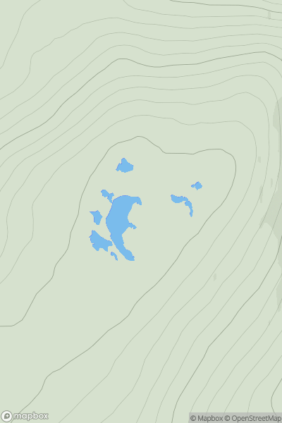
North Uist, South Uist and Nearby Islands
0
69.9User Activity
No recent Activity
.png)
0
Ascents
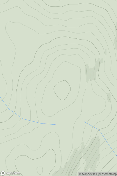
Harris and Nearby Islands
0
679.0User Activity
No recent Activity
0
Ascents
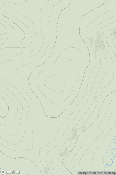
Orkney Islands
0
209.0User Activity
No recent Activity
0
Ascents
Glen Albyn and the Monadh Liath
0
708.0User Activity
No recent Activity
0
Ascents
The Glenkens to Annandale
0
424.0User Activity
No recent Activity