


0
Ascents

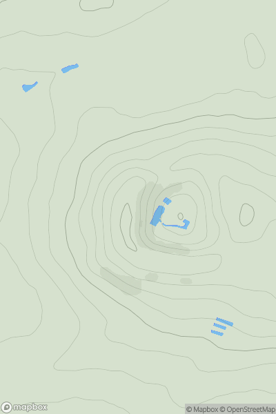
 Firth of Forth to the River Tweed
 0
0 260.2
260.2User Activity
No recent Activity
0
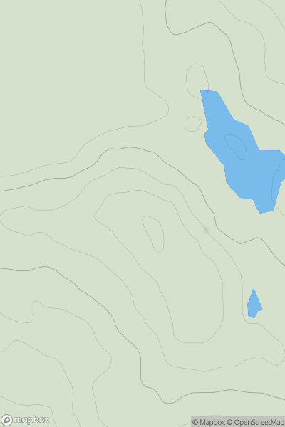
Ascents
The Glenkens to Annandale
0
186.0User Activity
No recent Activity
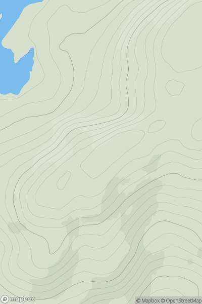
![Thumbnail image for Leap Hill [The River Tweed to the English Border] [NT440195] showing contour plot for surrounding peak](/static/img/mountains_img_db/14067_Leap_Hill_[The_River_Tweed_to_the_English_Border]_[NT440195].png)
0
Ascents
The River Tweed to the English Border
0
319.5User Activity
No recent Activity
0
Ascents
Killilan to Inverness
0
458.1User Activity
No recent Activity
0
Ascents
Glen Lyon to Glen Dochart & Loch Tay
0
892.5User Activity
No recent Activity
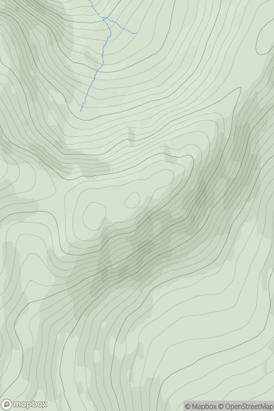
![Thumbnail image for Stob Glas [Loch Lomond to Strathyre] [NN365200] showing contour plot for surrounding peak](/static/img/mountains_img_db/5729_Stob_Glas_[Loch_Lomond_to_Strathyre]_[NN365200].png)
0
Ascents
Loch Lomond to Strathyre
0
710.5User Activity
No recent Activity