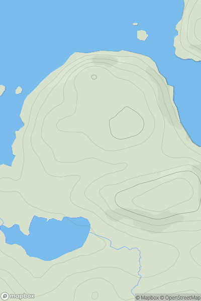
Ariel drone view of mountainous landscape with rolling clouds flowing over peak

Journal your hikes and share your adventures.

Bag peaks across the UK & Ireland, track your progress and see updates from Donder's growing community of hikers.

Donder's profile view available to users after sign-up, shows example user with progress tracking, hiking journal and user leaderboard

Thumbnail image for An Sgonnan showing contour plot for surrounding peak
SCO
Icon of location pin
61m
Icon of vertical, double ended, arrow to symbolise height of mountain

An Sgonnan

Icon of mountain used to symbolise the number of ascents made by users

0
Ascents

Thumbnail image for Doune Hill East Top showing contour plot for surrounding peak
SCO
Icon of location pin
701m
Icon of vertical, double ended, arrow to symbolise height of mountain

Doune Hill East Top

Icon of mountain used to symbolise the number of ascents made by users

0
Ascents

Thumbnail image for Mongour showing contour plot for surrounding peak
SCO
Icon of location pin
376m
Icon of vertical, double ended, arrow to symbolise height of mountain

Mongour

Icon of mountain used to symbolise the number of ascents made by users

0
Ascents

Thumbnail image for Ben Rinnes showing contour plot for surrounding peak
SCO
Icon of location pin
841m
Icon of vertical, double ended, arrow to symbolise height of mountain

Ben Rinnes

Icon of mountain used to symbolise the number of ascents made by users

0
Ascents

Thumbnail image for Drumpail Fell showing contour plot for surrounding peak
SCO
Icon of location pin
174m
Icon of vertical, double ended, arrow to symbolise height of mountain

Drumpail Fell

Icon of mountain used to symbolise the number of ascents made by users

0
Ascents

Thumbnail image for Cruach nam Miseag Far West Top showing contour plot for surrounding peak
SCO
Icon of location pin
561m
Icon of vertical, double ended, arrow to symbolise height of mountain

Cruach nam Miseag Far West Top

Icon of mountain used to symbolise the number of ascents made by users

0
Ascents