

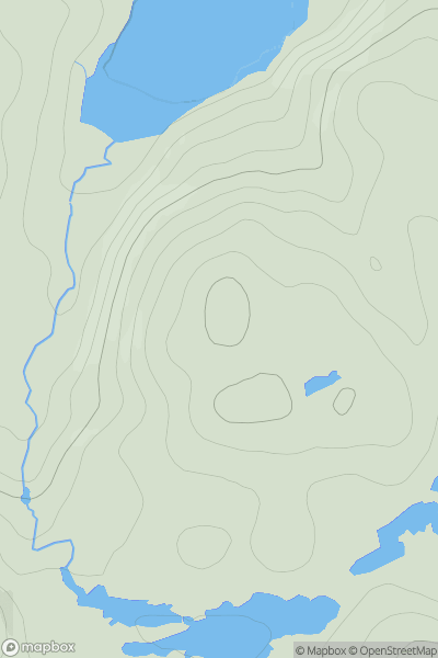
![Thumbnail image for Cult Hill [Pitlochry to Braemar & Blairgowrie] showing contour plot for surrounding peak](/static/img/mountains_img_db/8341_Cult_Hill_[Pitlochry_to_Braemar_&_Blairgowrie].png)


0
Ascents

 Pitlochry to Braemar & Blairgowrie
 0
0 211.0
211.0User Activity
No recent Activity
0
Ascents
Scourie to Lairg
0
112.0User Activity
No recent Activity
0
Ascents
Altnaharra to Dornoch
0
392.0User Activity
No recent Activity
0
Ascents
Lewis and Nearby Islands
0
114.8User Activity
No recent Activity
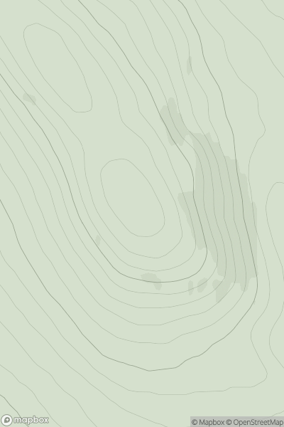
![Thumbnail image for Tom na h-Eilde [Knoydart to Glen Kingie] showing contour plot for surrounding peak](/static/img/mountains_img_db/19385_Tom_na_h-Eilde_[Knoydart_to_Glen_Kingie].png)
0
Ascents
Knoydart to Glen Kingie
0
68.0User Activity
No recent Activity
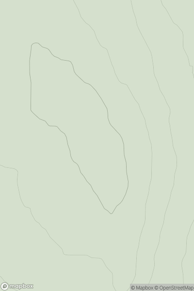
![Thumbnail image for Am Barr [Oban to Loch Fyne] [NM974287] showing contour plot for surrounding peak](/static/img/mountains_img_db/11135_Am_Barr_[Oban_to_Loch_Fyne]_[NM974287].png)
0
Ascents
Oban to Loch Fyne
0
157.0User Activity
No recent Activity