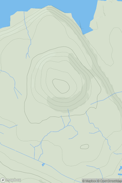
Ariel drone view of mountainous landscape with rolling clouds flowing over peak

Journal your hikes and share your adventures.

Bag peaks across the UK & Ireland, track your progress and see updates from Donder's growing community of hikers.

Donder's profile view available to users after sign-up, shows example user with progress tracking, hiking journal and user leaderboard

Thumbnail image for Torr na Maille showing contour plot for surrounding peak
SCO
Icon of location pin
199m
Icon of vertical, double ended, arrow to symbolise height of mountain

Torr na Maille

Icon of mountain used to symbolise the number of ascents made by users

0
Ascents

Thumbnail image for Cnoc na Gearraisich showing contour plot for surrounding peak
SCO
Icon of location pin
401m
Icon of vertical, double ended, arrow to symbolise height of mountain

Cnoc na Gearraisich

Icon of mountain used to symbolise the number of ascents made by users

0
Ascents

Thumbnail image for Sgurr an Ursainn showing contour plot for surrounding peak
SCO
Icon of location pin
817m
Icon of vertical, double ended, arrow to symbolise height of mountain

Sgurr an Ursainn

Icon of mountain used to symbolise the number of ascents made by users

0
Ascents

Thumbnail image for Canup showing contour plot for surrounding peak
SCO
Icon of location pin
451m
Icon of vertical, double ended, arrow to symbolise height of mountain

Canup

Icon of mountain used to symbolise the number of ascents made by users

0
Ascents

Thumbnail image for Ben Volovaig showing contour plot for surrounding peak
SCO
Icon of location pin
111m
Icon of vertical, double ended, arrow to symbolise height of mountain

Ben Volovaig

Icon of mountain used to symbolise the number of ascents made by users

0
Ascents

Thumbnail image for Craig of Achnabreck showing contour plot for surrounding peak
SCO
Icon of location pin
171m
Icon of vertical, double ended, arrow to symbolise height of mountain

Craig of Achnabreck

Icon of mountain used to symbolise the number of ascents made by users

0
Ascents