


0
Ascents

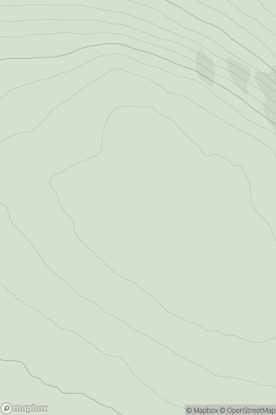
 Altnaharra to Dornoch
 0
0 236.0
236.0User Activity
No recent Activity
0
Ascents
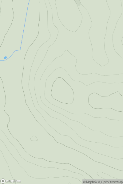
Central Scotland from Dumbarton to Montrose
0
213.0User Activity
No recent Activity
0
Ascents
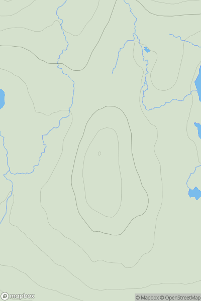
Lewis and Nearby Islands
0
80.0User Activity
No recent Activity
0
Ascents
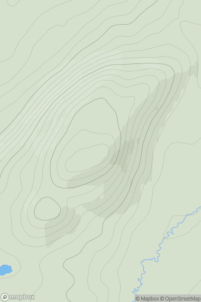
Glen Affric to Glen Moriston
0
388.0User Activity
No recent Activity
0
Ascents
Fraserburgh to the Dee Valley
0
135.0User Activity
No recent Activity
0
Ascents
Carrick and Galloway
0
195.0User Activity
No recent Activity