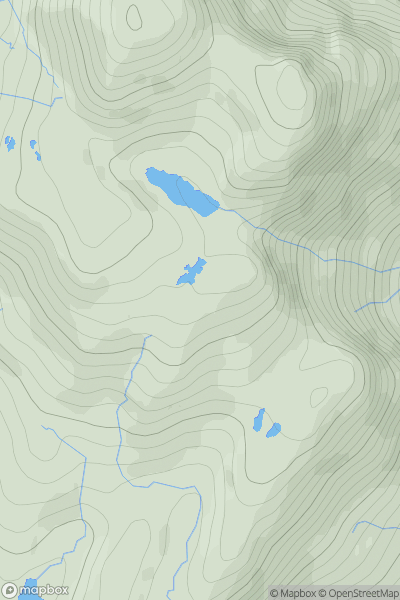
Ariel drone view of mountainous landscape with rolling clouds flowing over peak

Journal your hikes and share your adventures.

Bag peaks across the UK & Ireland, track your progress and see updates from Donder's growing community of hikers.

Donder's profile view available to users after sign-up, shows example user with progress tracking, hiking journal and user leaderboard

Thumbnail image for Eilean Dubh [Knapdale and Kintyre] showing contour plot for surrounding peak
SCO
Icon of location pin
36m
Icon of vertical, double ended, arrow to symbolise height of mountain

Eilean Dubh [Knapdale and Kintyre]

Icon of mountain used to symbolise the number of ascents made by users

0
Ascents

Thumbnail image for Creag na Moine Moire South Top showing contour plot for surrounding peak
SCO
Icon of location pin
488m
Icon of vertical, double ended, arrow to symbolise height of mountain

Creag na Moine Moire South Top

Icon of mountain used to symbolise the number of ascents made by users

0
Ascents

Thumbnail image for Muirhouse Law showing contour plot for surrounding peak
SCO
Icon of location pin
179m
Icon of vertical, double ended, arrow to symbolise height of mountain

Muirhouse Law

Icon of mountain used to symbolise the number of ascents made by users

0
Ascents

Thumbnail image for Druim nan Gobhar showing contour plot for surrounding peak
SCO
Icon of location pin
141m
Icon of vertical, double ended, arrow to symbolise height of mountain

Druim nan Gobhar

Icon of mountain used to symbolise the number of ascents made by users

0
Ascents

Thumbnail image for Ironside Hill showing contour plot for surrounding peak
SCO
Icon of location pin
354m
Icon of vertical, double ended, arrow to symbolise height of mountain

Ironside Hill

Icon of mountain used to symbolise the number of ascents made by users

0
Ascents

Thumbnail image for Creag Coire na Cloiche showing contour plot for surrounding peak
SCO
Icon of location pin
600m
Icon of vertical, double ended, arrow to symbolise height of mountain

Creag Coire na Cloiche

Icon of mountain used to symbolise the number of ascents made by users

0
Ascents