


0
Ascents

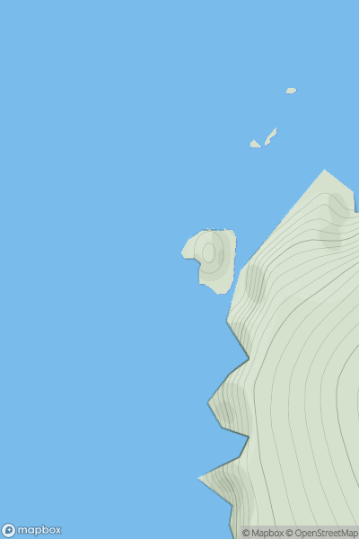
 Shetland Islands
 0
0 53.0
53.0User Activity
No recent Activity
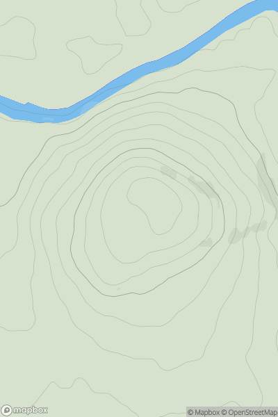
![Thumbnail image for Cnoc na Moine [Tongue to Wick and Helmsdale] [NC627525] showing contour plot for surrounding peak](/static/img/mountains_img_db/9718_Cnoc_na_Moine_[Tongue_to_Wick_and_Helmsdale]_[NC627525].png)
0
Ascents
Tongue to Wick and Helmsdale
0
183.0User Activity
No recent Activity
0
Ascents
The Glenkens to Annandale
0
129.0User Activity
No recent Activity
0
Ascents
Loch Maree to Loch Broom
0
281.0User Activity
No recent Activity
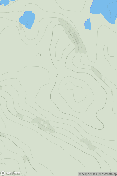
![Thumbnail image for Elrig [Pitlochry to Braemar & Blairgowrie] showing contour plot for surrounding peak](/static/img/mountains_img_db/6025_Elrig_[Pitlochry_to_Braemar_&_Blairgowrie].png)
0
Ascents
Pitlochry to Braemar & Blairgowrie
0
588.0User Activity
No recent Activity
![Thumbnail image for Knock Hill [Braemar to Montrose] [NO408610] showing contour plot for surrounding peak](/static/img/mountains_img_db/8421_Knock_Hill_[Braemar_to_Montrose]_[NO408610].png)
0
Ascents
Braemar to Montrose
0
283.0User Activity
No recent Activity