


0
Ascents

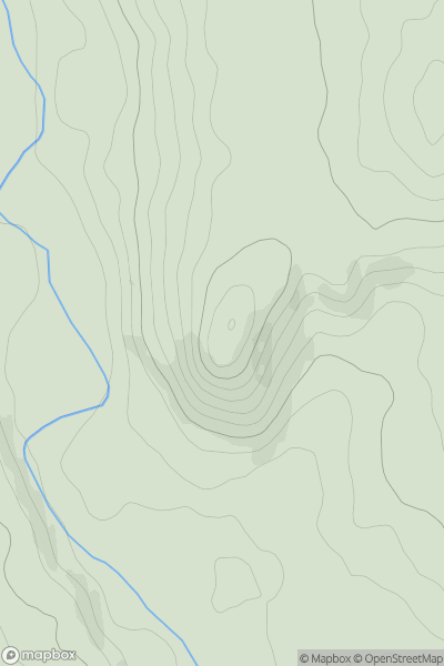
 Carrick and Galloway
 0
0 125.0
125.0User Activity
No recent Activity
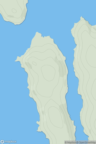
![Thumbnail image for An Cnap [Oban to Loch Fyne] [NM955160] showing contour plot for surrounding peak](/static/img/mountains_img_db/11046_An_Cnap_[Oban_to_Loch_Fyne]_[NM955160].png)
0
Ascents
Oban to Loch Fyne
0
205.0User Activity
No recent Activity
0
Ascents
Applecross to Achnasheen
0
54.0User Activity
No recent Activity
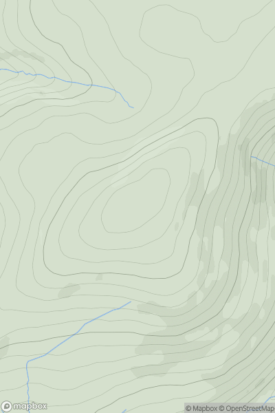
![Thumbnail image for Carn an Daimh [Braemar to Montrose] [NO297870] showing contour plot for surrounding peak](/static/img/mountains_img_db/6073_Carn_an_Daimh_[Braemar_to_Montrose]_[NO297870].png)
0
Ascents
Braemar to Montrose
0
617.0User Activity
No recent Activity
![Thumbnail image for Black Hill [Braemar to Montrose] [NO458752] showing contour plot for surrounding peak](/static/img/mountains_img_db/4131_Black_Hill_[Braemar_to_Montrose]_[NO458752].png)
0
Ascents
Braemar to Montrose
0
693.8User Activity
No recent Activity
0
Ascents
The Glenkens to Annandale
0
689.0User Activity
No recent Activity