


0
Ascents

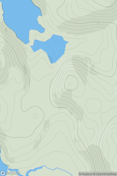
 Lochinver to Ullapool
 0
0 122.0
122.0User Activity
No recent Activity
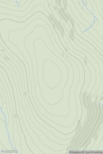
![Thumbnail image for Cruach nan Caorach [Loch Fyne to Bute and the Firth of Clyde] [NS073811] showing contour plot for surrounding peak](/static/img/mountains_img_db/6969_Cruach_nan_Caorach_[Loch_Fyne_to_Bute_and_the_Firth_of_Clyde]_[NS073811].png)
0
Ascents
Loch Fyne to Bute and the Firth of Clyde
0
578.0User Activity
No recent Activity
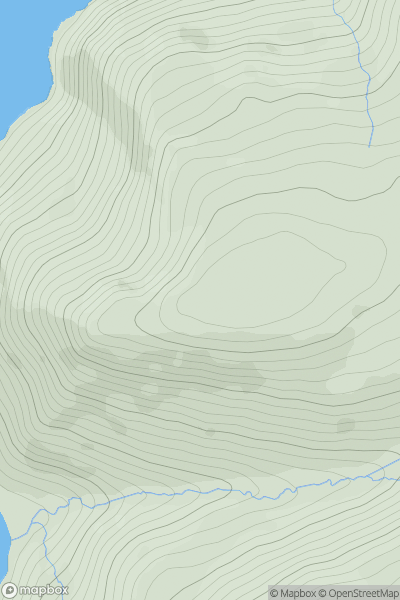
![Thumbnail image for Carn an Tuairneir [Glen Affric to Glen Moriston] [NH386196] showing contour plot for surrounding peak](/static/img/mountains_img_db/6515_Carn_an_Tuairneir_[Glen_Affric_to_Glen_Moriston]_[NH386196].png)
0
Ascents
Glen Affric to Glen Moriston
0
536.0User Activity
No recent Activity
0
Ascents
The Glenkens to Annandale
0
494.0User Activity
No recent Activity
0
Ascents
Knapdale and Kintyre
0
282.0User Activity
No recent Activity
0
Ascents
Fraserburgh to the Dee Valley
0
476.0User Activity
No recent Activity