


0
Ascents

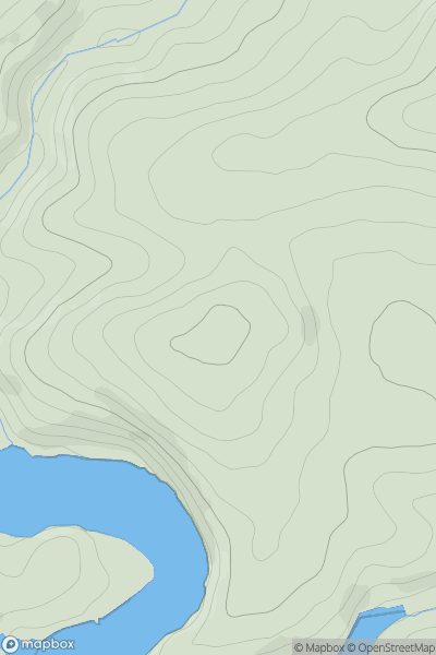
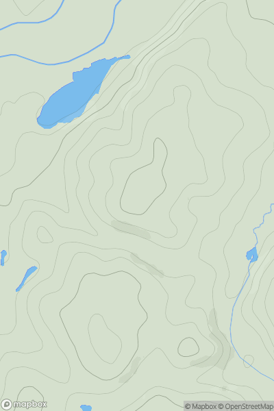
 South West England
 0
0 108.7
108.7User Activity
No recent Activity
0
Ascents
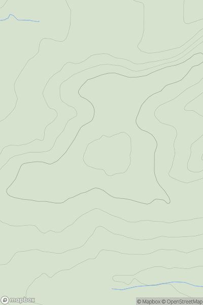
South West England
0
165.0User Activity
No recent Activity
0
Ascents
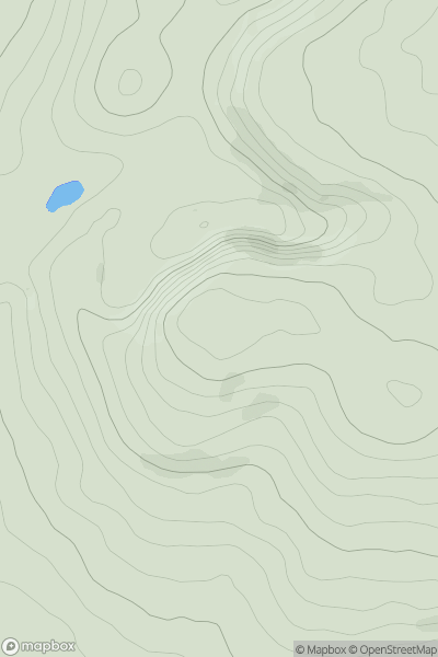
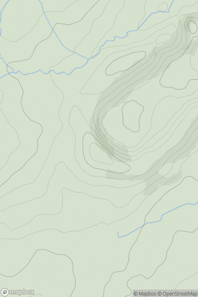
Lancashire, Cheshire and S Pennines
0
470.7User Activity
No recent Activity
0
Ascents
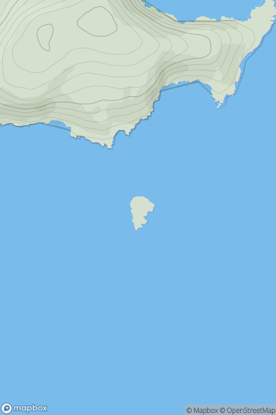
South West England
0
43.0User Activity
No recent Activity
0
Ascents
Lancashire, Cheshire and S Pennines
0
151.0User Activity
No recent Activity
0
Ascents
Central Pennines
0
274.0User Activity
No recent Activity