


0
Ascents

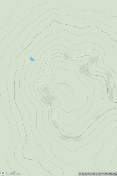
 Central and Eastern England
 0
0 194.0
194.0User Activity
No recent Activity
0
Ascents
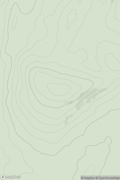
Lake District S
0
126.0User Activity
No recent Activity
0
Ascents
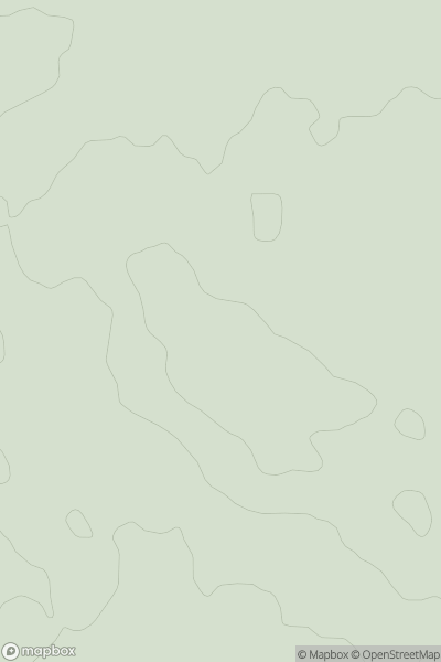
Shropshire
0
140.0User Activity
No recent Activity
0
Ascents
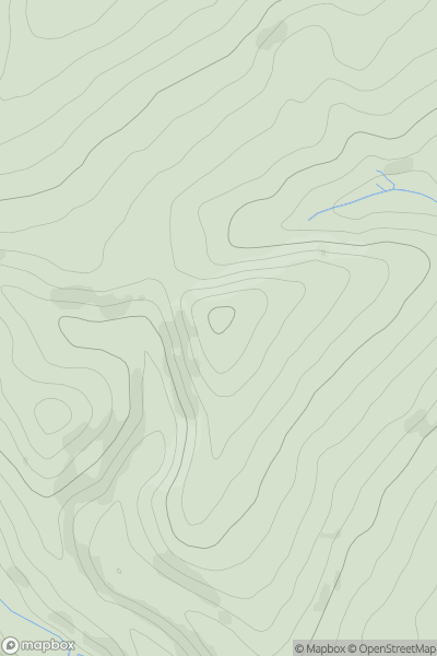
Welsh Borders S
0
251.8User Activity
No recent Activity

0
Ascents
Lancashire, Cheshire and S Pennines
0
361.0User Activity
No recent Activity
0
Ascents
Lake District E
0
519.0User Activity
No recent Activity