


0
Ascents

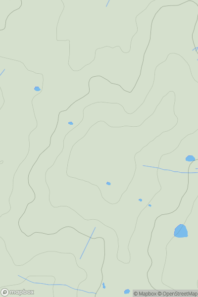
 South East England
 0
0 78.0
78.0User Activity
No recent Activity
0
Ascents
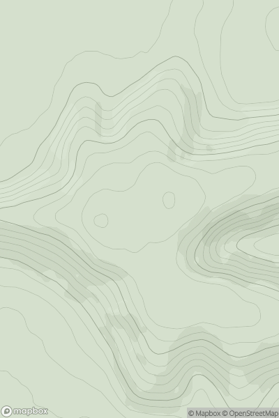
South Central England
0
284.0User Activity
No recent Activity
0
Ascents
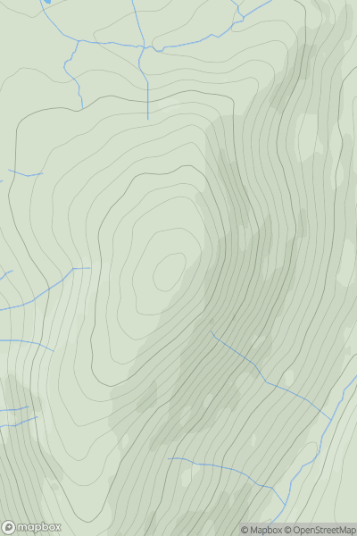
North Pennines
0
497.0User Activity
No recent Activity
0
Ascents
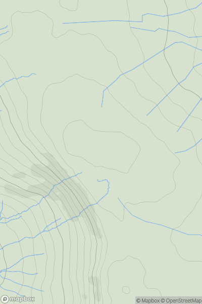
Lancashire, Cheshire and S Pennines
0
546.0User Activity
No recent Activity
0
Ascents
Central and Eastern England
0
203.0User Activity
No recent Activity
0
Ascents
Central Pennines
0
291.0User Activity
No recent Activity