


0
Ascents

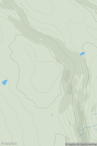
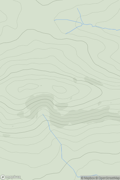
 Lancashire, Cheshire and S Pennines
 0
0 317.0
317.0User Activity
No recent Activity
0
Ascents
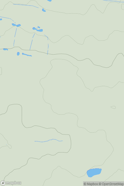
Central and Eastern England
0
110.0User Activity
No recent Activity
0
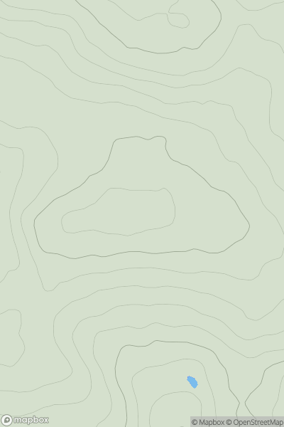
Ascents
South West England
0
215.0User Activity
No recent Activity
0
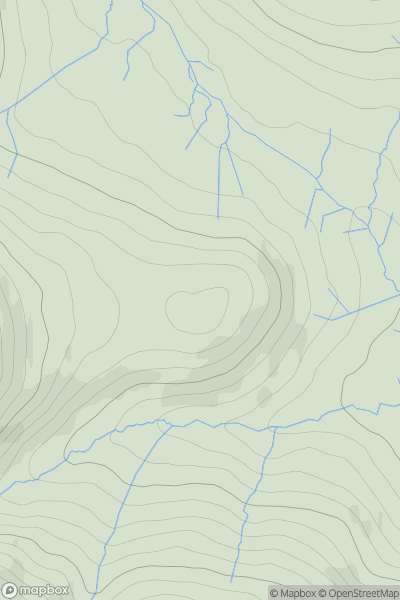
Ascents
Lake District N
0
538.0User Activity
No recent Activity
0
Ascents
South West England
0
235.0User Activity
No recent Activity
0
Ascents
Lancashire, Cheshire and S Pennines
0
290.0User Activity
No recent Activity