


0
Ascents

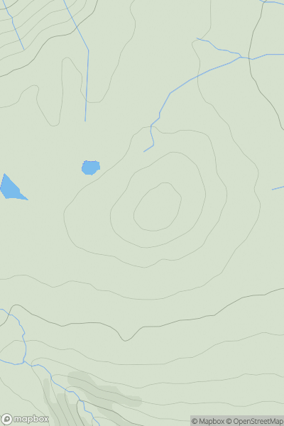
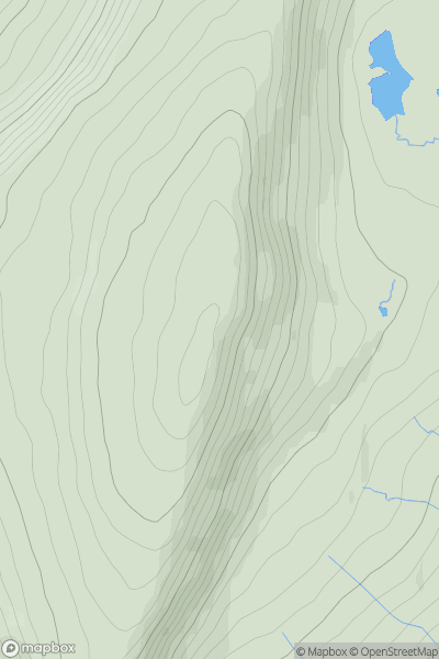
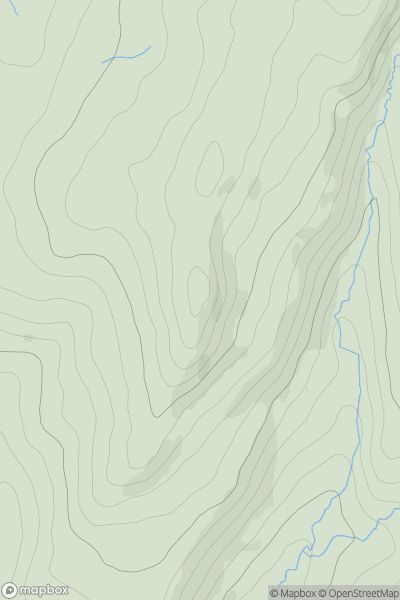
 Central Pennines
 0
0 544.0
544.0User Activity
No recent Activity
0
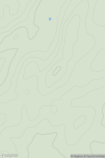
Ascents
Lancashire, Cheshire and S Pennines
0
148.0User Activity
No recent Activity
0
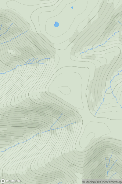
Ascents
North Pennines
0
672.0User Activity
No recent Activity
0
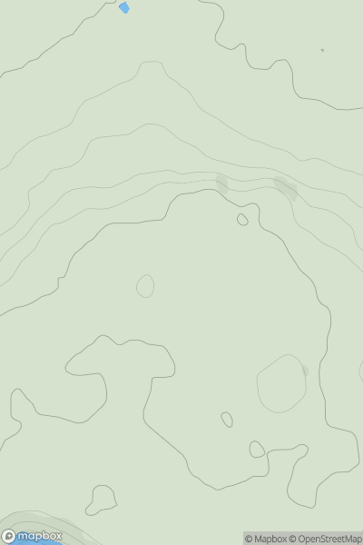
Ascents
Central and Eastern England
0
109.0User Activity
No recent Activity
0
Ascents
Central Pennines
0
736.6User Activity
No recent Activity
0
Ascents
Lancashire, Cheshire and S Pennines
0
460.0User Activity
No recent Activity