


0
Ascents

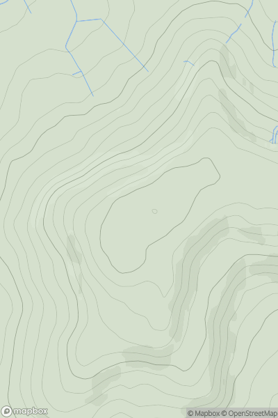
 The River Tees to The Wash
 0
0 257.0
257.0User Activity
No recent Activity
0
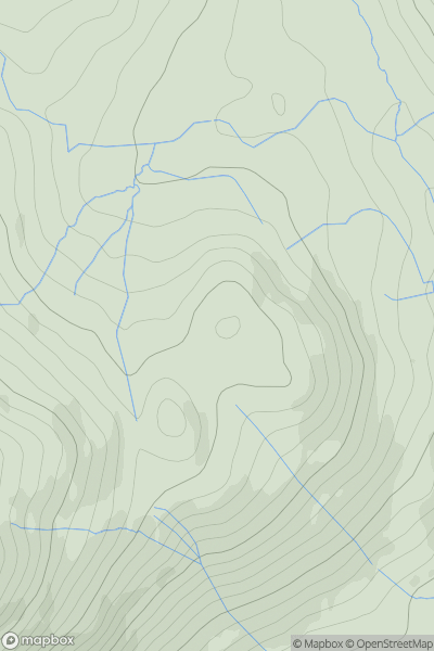
Ascents
Lake District E
0
373.0User Activity
No recent Activity
0
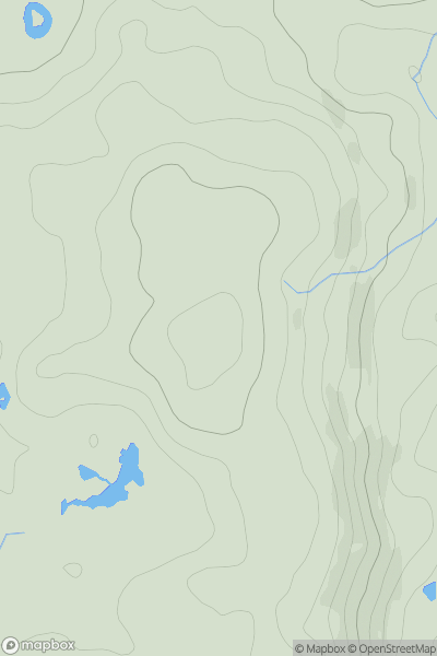
Ascents
Lake District S
0
175.0User Activity
No recent Activity
0
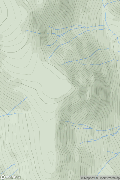
Ascents
Lake District E
0
626.0User Activity
No recent Activity
0
Ascents
South West England
0
349.0User Activity
No recent Activity

0
Ascents
Shropshire
0
199.0User Activity
No recent Activity